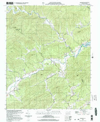
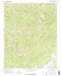
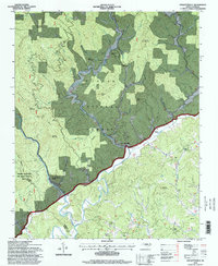
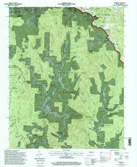
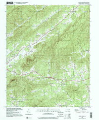
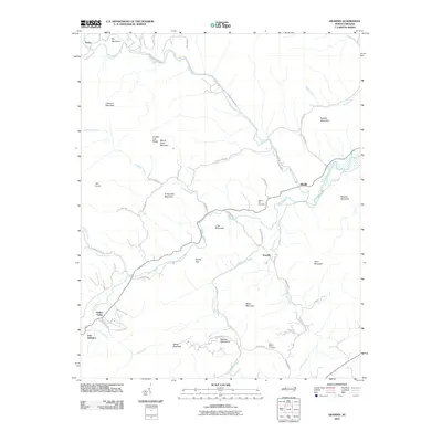
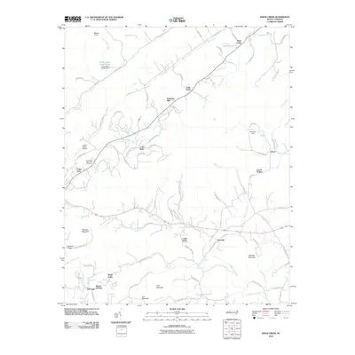
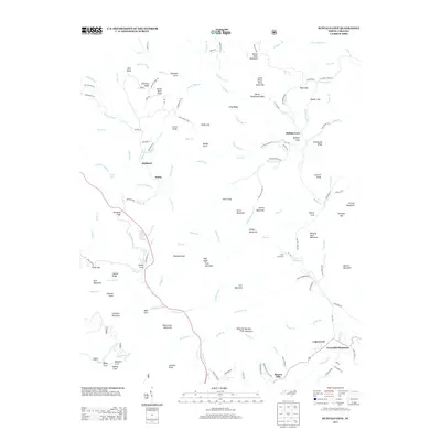
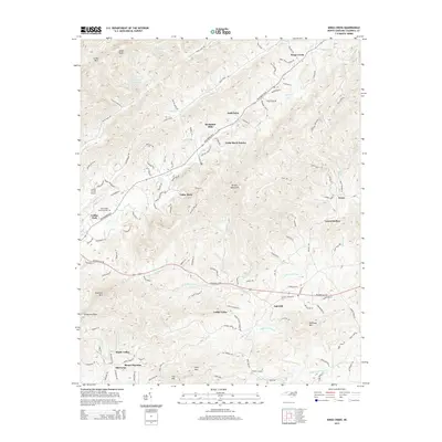
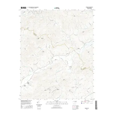
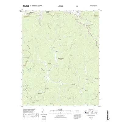
2000 Map of Grandin
USGS Topo · Published 2003About this map
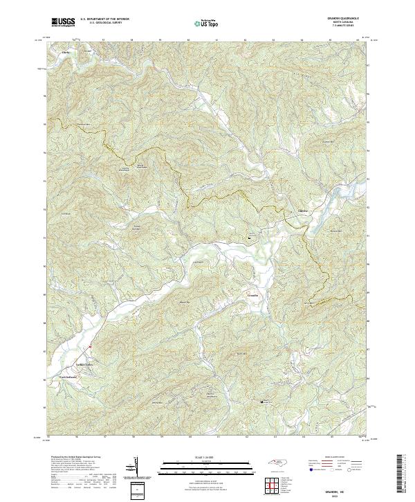
The Yadkin River and its numerous tributaries, including Elk Creek, Kings Creek, and Buffalo Creek, carve through the complex terrain of the Wilkes and Caldwell County line. This landscape is defined by its small rural settlements and religious centers, such as Grandin, Elkville, and the landmark Maria Chapel. The presence of Fort Defiance in the southwest near Mill Creek points to the area's deep frontier history.
Find a feature on this map
58 named features on this map. Tap any name to fly to it.
Don’t see what you’re looking for? This feature index may not catch every label — zoom into the map to look around manually.
Map Details
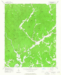
Editions of this 2000 Grandin Map
This is the sole edition of this map. No revisions or reprints were ever made.
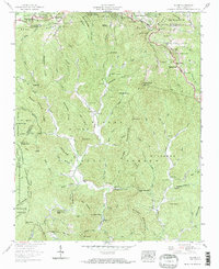
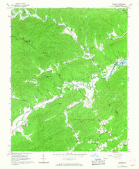
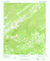
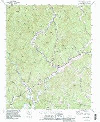
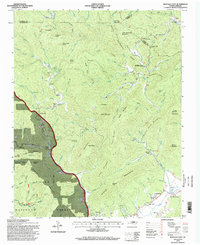
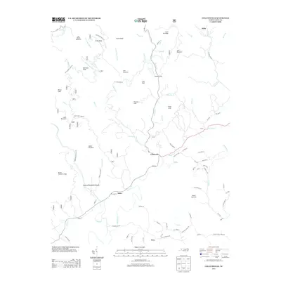
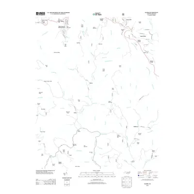
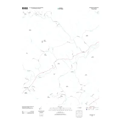
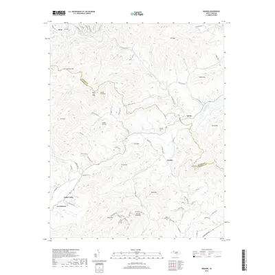
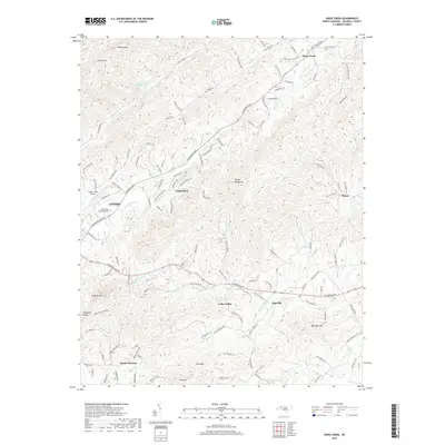
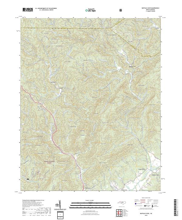
Historical Maps of Fort Defiance Through Time
36 maps found
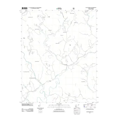
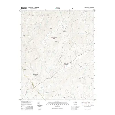
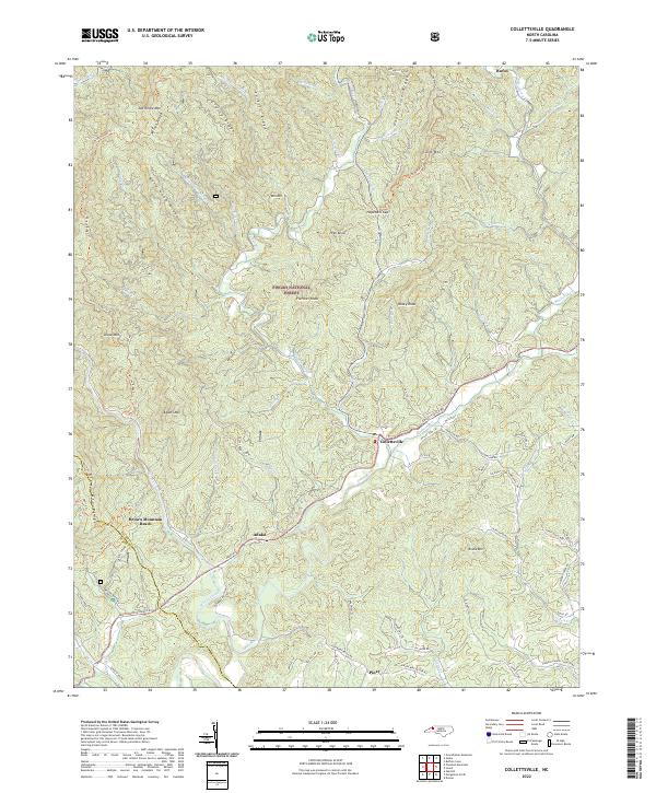
1956 Collettsville
Caldwell County, NC
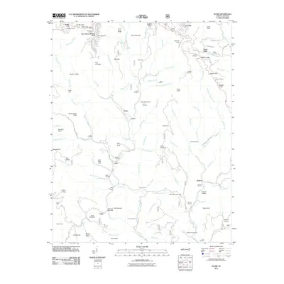
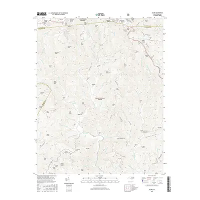
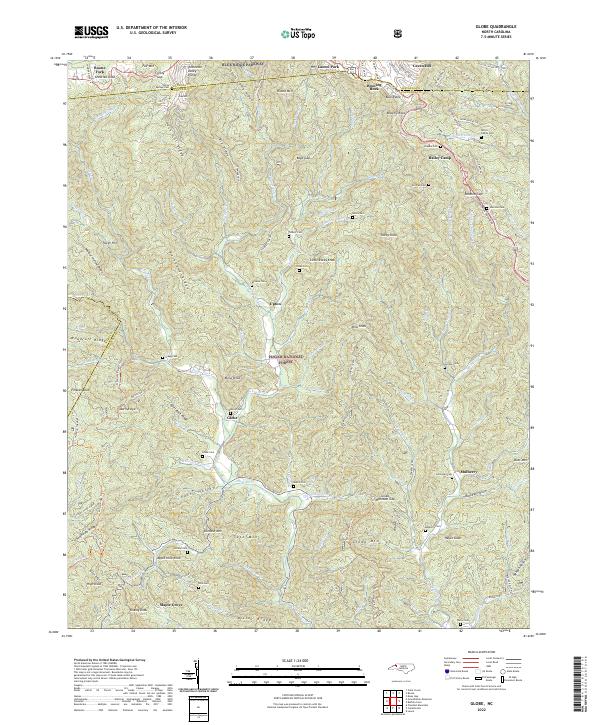
1959 Globe
Caldwell County, NC
1966 Grandin
Caldwell County, NC
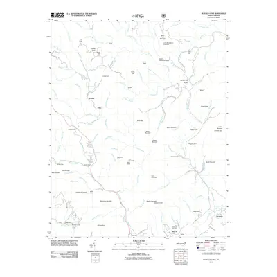
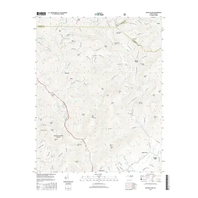
1967 Buffalo Cove
Caldwell County, NC
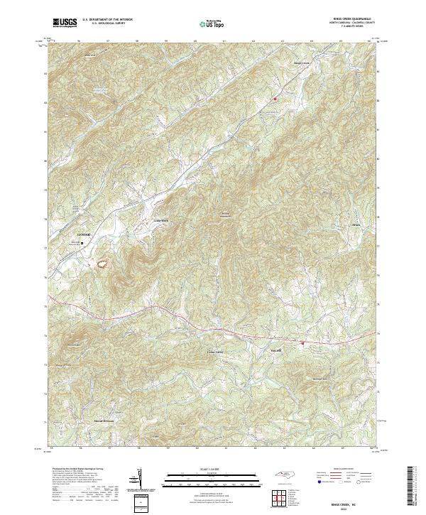
1970 Kings Creek
Caldwell County, NC
1993 Collettsville
Caldwell County, NC
1994 Buffalo Cove
Caldwell County, NC
1994 Collettsville
Caldwell County, NC
1994 Globe
Caldwell County, NC
1997 Kings Creek
Caldwell County, NC
2000 Grandin
Caldwell County, NC
2010 Grandin
Caldwell County, NC
2010 Kings Creek
Caldwell County, NC
2011 Buffalo Cove
Caldwell County, NC
2011 Collettsville
Caldwell County, NC
2011 Globe
Caldwell County, NC
2013 Buffalo Cove
Caldwell County, NC
2013 Collettsville
Caldwell County, NC
2013 Globe
Caldwell County, NC
2013 Grandin
Caldwell County, NC
2014 Kings Creek
Caldwell County, NC
2016 Buffalo Cove
Caldwell County, NC
2016 Collettsville
Caldwell County, NC
2016 Globe
Caldwell County, NC
2016 Grandin
Caldwell County, NC
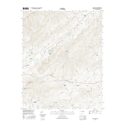
2016 Kings Creek
Caldwell County, NC
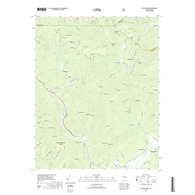
2019 Buffalo Cove
Caldwell County, NC
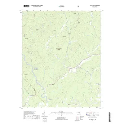
2019 Collettsville
Caldwell County, NC
2019 Globe
Caldwell County, NC
2019 Grandin
Caldwell County, NC
2019 Kings Creek
Caldwell County, NC
2022 Buffalo Cove
Caldwell County, NC
2022 Collettsville
Caldwell County, NC
2022 Globe
Caldwell County, NC
2022 Grandin
Caldwell County, NC
2022 Kings Creek
Caldwell County, NC