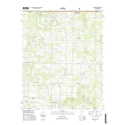
2017 Map of Grandview
USGS Topo · Published 2017About this map
Berryville and its surrounding northern Carroll County landscape appear here in the early 21st century, centered on the winding course of the Kings River. The terrain is defined by a series of prominent high points and ridges, including Brushy Mtn, Sister Knob, and the distinctive Brother Knobs. Along the northern border, the river flows through Barnett Bend and Stewart Bend before reaching the southern reaches of Table Rock Lake at Pine Bluff.
Find a feature on this map
133 named features on this map. Tap any name to fly to it.
Don’t see what you’re looking for? This feature index may not catch every label — zoom into the map to look around manually.
Map Details
Editions of this 2017 Grandview Map
This is the sole edition of this map. No revisions or reprints were ever made.
Other maps of this area

1900 · Eureka Springs
USGS Topo · 1:125,000

1901 · Eureka Springs
USGS Topo · 1:125,000

1904 · Harrison
USGS Topo · 1:125,000

1905 · Harrison
USGS Topo · 1:125,000

1907 · Forsyth
USGS Topo · 1:125,000

1927 · Shell Knob
USGS Topo · 1:62,500

1945 · Harrison
USGS Topo · 1:250,000

1949 · Harrison
USGS Topo · 1:250,000

1950 · Shell Knob
USGS Topo · 1:62,500

1954 · Harrison
USGS Topo · 1:250,000