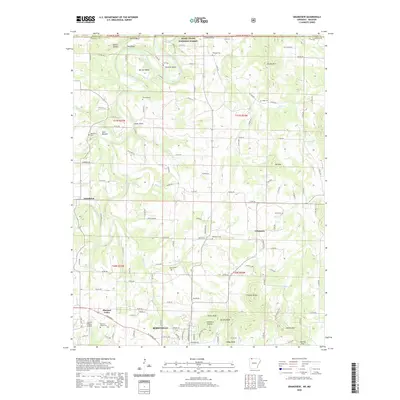
2020 Map of Grandview
USGS Topo · Published 2020About this map
Berryville sits at the southern edge of this Ozark landscape, where the plateau begins to rise into a series of prominent peaks like Ant Mtn and Brushy Mtn. The Kings River carves a winding path through the western half of the terrain, creating significant geological features such as Gallion Bluff and the deep oxbows at Barnett Bend and Stewart Bend. This 2020 record of the region shows a mix of established agricultural land and protected wilderness, with the Mark Twain National Forest extending across the northern border into Missouri.
Find a feature on this map
137 named features on this map. Tap any name to fly to it.
Don’t see what you’re looking for? This feature index may not catch every label — zoom into the map to look around manually.
Map Details
Editions of this 2020 Grandview Map
This is the sole edition of this map. No revisions or reprints were ever made.
Other maps of this area

1900 · Eureka Springs
USGS Topo · 1:125,000

1901 · Eureka Springs
USGS Topo · 1:125,000

1904 · Harrison
USGS Topo · 1:125,000

1905 · Harrison
USGS Topo · 1:125,000

1907 · Forsyth
USGS Topo · 1:125,000

1927 · Shell Knob
USGS Topo · 1:62,500

1945 · Harrison
USGS Topo · 1:250,000

1949 · Harrison
USGS Topo · 1:250,000

1950 · Shell Knob
USGS Topo · 1:62,500

1954 · Harrison
USGS Topo · 1:250,000