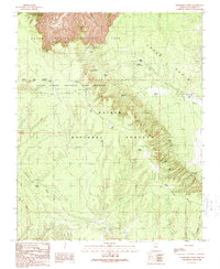
1989 Map of Grandview Point
USGS Topo · Published 1989About this map
Grandview Point overlooks the dramatic transition from the South Rim into the depths of Grapevine Canyon, anchoring a landscape shaped by early conservation and forest management. This late-twentieth-century record detail the infrastructure of the Grand Canyon National Park and the adjacent Kaibab National Forest, highlighting the critical role of water management in this arid environment through numerous catchments like Hull Tank, Lockett Lake, and Crazy Cow Tank.
Find a feature on this map
36 named features on this map. Tap any name to fly to it.
Don’t see what you’re looking for? This feature index may not catch every label — zoom into the map to look around manually.
Map Details
Editions of this 1989 Grandview Point Map
2 editions found
Other maps of this area

1886 · San Francisco Mtns
USGS Topo · 1:250,000

1886 · Chino
USGS Topo · 1:250,000

1886 · Echo Cliffs
USGS Topo · 1:250,000

1886 · Kaibab
USGS Topo · 1:250,000

1891 · San Francisco Mtns
USGS Topo · 1:250,000

1891 · Chino
USGS Topo · 1:250,000

1891 · Echo Cliffs
USGS Topo · 1:250,000

1894 · San Francisco Mtns
USGS Topo · 1:250,000

1899 · San Francisco Mtns
USGS Topo · 1:250,000

1903 · Bright Angel
USGS Topo · 1:48,000