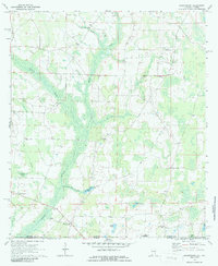
1970 Map of Grangeburg
USGS Topo · Published 1986About this map
Grangeburg anchors the southern portion of this landscape where the Alabama-Florida state line meets the Houston and Jackson County boundaries. The area is defined by a dense network of watercourses, including the swampy margins of Cowarts Creek and Rocky Creek, which feed into Bazemores Mill Lake. Settlement patterns follow the higher ground between these drainages, marked by a high concentration of rural institutions like Harmon School and churches including Hickory Grove, Antioch, and Triumph. The presence of the Houston Lookout Tower near Pleasant Hill suggests a landscape of managed timber or forest monitoring, while the U.S. Military Reservation boundary in the south points to the regional significance of government land use. This survey illustrates a quiet agricultural and wooded borderland transitioning from small community centers to larger natural basins like Moates Bay.
Find a feature on this map
33 named features on this map. Tap any name to fly to it.
Don’t see what you’re looking for? This feature index may not catch every label — zoom into the map to look around manually.
Map Details
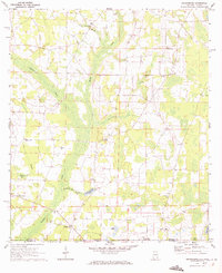
Editions of this 1970 Grangeburg Map
2 editions found
Other maps of this area

1952 · Malone
USGS Topo · 1:24,000

1952 · Bascom
USGS Topo · 1:24,000

1952 · Sills
USGS Topo · 1:24,000

1953 · Dothan
USGS Topo · 1:250,000

1954 · Dothan
USGS Topo · 1:250,000

1954 · Tallahassee
USGS Topo · 1:250,000

1955 · Dothan
USGS Topo · 1:250,000

1959 · Tallahassee
USGS Topo · 1:250,000

1960 · Tallahassee
USGS Topo · 1:250,000

1969 · Dothan East
USGS Topo · 1:24,000