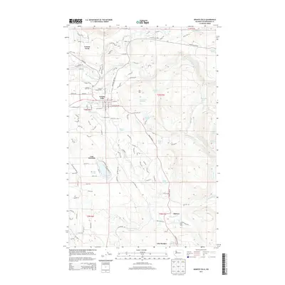
2014 Map of Granite Falls
USGS Topo · Published 2014About this map
Granite Falls serves as the focal point of this Snohomish County survey, situated at the confluence of the South Fork Stillaguamish River and the Pilchuck River. The landscape is defined by its industrial and recreational geography, featuring a local Quarry and roads such as Wayside Mine Rd that hint at the area's extraction history. Local landmarks like the American Legion Cem and the Po in the center of town reflect the civic life of the community.
Find a feature on this map
156 named features on this map. Tap any name to fly to it.
Don’t see what you’re looking for? This feature index may not catch every label — zoom into the map to look around manually.
Map Details
Editions of this 2014 Granite Falls Map
This is the sole edition of this map. No revisions or reprints were ever made.
Other maps of this area

1895 · Snohomish
USGS Topo · 1:125,000

1897 · Seattle
USGS Topo · 1:125,000

1899 · Stillaguamish
USGS Topo · 1:125,000

1901 · Stilaguamish
USGS Topo · 1:125,000

1911 · Mount Vernon
USGS Topo · 1:125,000

1921 · Sultan
USGS Topo · 1:125,000

1923 · Sultan
USGS Topo · 1:125,000

1941 · Marysville
USGS Topo · 1:62,500

1943 · Marysville
USGS Topo · 1:62,500

1944 · Everett
USGS Topo · 1:62,500