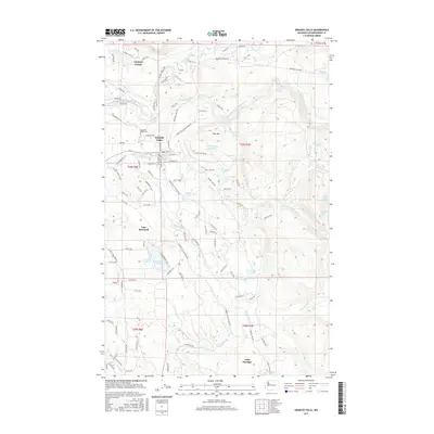
2017 Map of Granite Falls
USGS Topo · Published 2017About this map
Granite Falls serves as the focal point of this 2017 survey, situated at the bend of the South Fork Stillaguamish River where the Mountain Loop Hwy begins its path into the Cascades. The map details the transition from the city's residential streets, such as E Stanley St and W Wallace St, to the dense network of glacial lakes and river valleys that define Snohomish County. To the north, the community of Canyon Creek sits near the river's edge, while to the south, the landscape is punctuated by numerous water bodies including Bosworth Lake, Menzel Lake, and the northern reach of Lake Roesiger. The prominence of Iron Mtn and the Granite Falls Reservoir highlights the local geography, while the American Legion Cem provides a specific point of interest for genealogists tracing local family history in this river-and-timber region.
Find a feature on this map
104 named features on this map. Tap any name to fly to it.
Don’t see what you’re looking for? This feature index may not catch every label — zoom into the map to look around manually.
Map Details
Editions of this 2017 Granite Falls Map
This is the sole edition of this map. No revisions or reprints were ever made.
Other maps of this area

1895 · Snohomish
USGS Topo · 1:125,000

1897 · Seattle
USGS Topo · 1:125,000

1899 · Stillaguamish
USGS Topo · 1:125,000

1901 · Stilaguamish
USGS Topo · 1:125,000

1911 · Mount Vernon
USGS Topo · 1:125,000

1921 · Sultan
USGS Topo · 1:125,000

1923 · Sultan
USGS Topo · 1:125,000

1941 · Marysville
USGS Topo · 1:62,500

1943 · Marysville
USGS Topo · 1:62,500

1944 · Everett
USGS Topo · 1:62,500