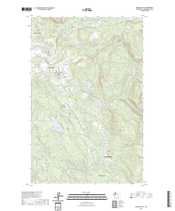
2023 Map of Granite Falls
USGS Topo · Published 2023About this map
The South Fork Stillaguamish River cuts through the northern landscape of this Snohomish County survey, marking the topographic transition where the river flows past Jordan Ridge and into the community of Granite Falls. The town center is detailed with its street grid and the American Legion Cem, while the surrounding terrain is defined by a dense network of timber-related infrastructure, including the Pilchuck Tree Farm Rd.
Find a feature on this map
111 named features on this map. Tap any name to fly to it.
Don’t see what you’re looking for? This feature index may not catch every label — zoom into the map to look around manually.
Map Details
Editions of this 2023 Granite Falls Map
This is the sole edition of this map. No revisions or reprints were ever made.
Other maps of this area

1895 · Snohomish
USGS Topo · 1:125,000

1897 · Seattle
USGS Topo · 1:125,000

1899 · Stillaguamish
USGS Topo · 1:125,000

1901 · Stilaguamish
USGS Topo · 1:125,000

1911 · Mount Vernon
USGS Topo · 1:125,000

1921 · Sultan
USGS Topo · 1:125,000

1923 · Sultan
USGS Topo · 1:125,000

1941 · Marysville
USGS Topo · 1:62,500

1943 · Marysville
USGS Topo · 1:62,500

1944 · Everett
USGS Topo · 1:62,500