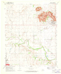
1971 Map of Granite
USGS Topo · Published 1973About this map
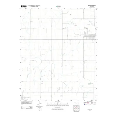
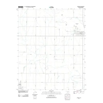
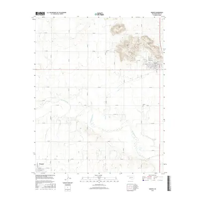
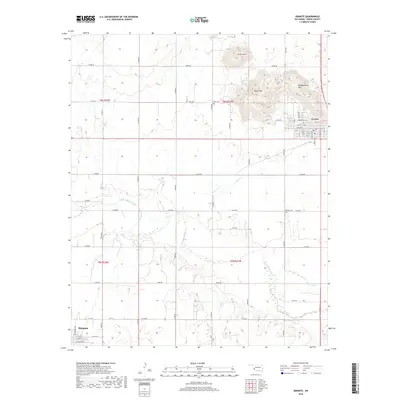
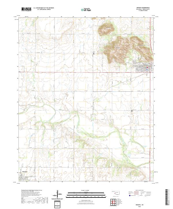
Headquarters Mountain and Brown Mountain rise sharply above the town of Granite, framing a landscape defined by both massive geological formations and institutional history. The northeastern corner of the map is dominated by the sprawling State Reformatory grounds, which include its own Quarry and Headquarters Mountain infrastructure. This early 1970s snapshot shows the intersection of industry and civic life, where the Chicago Rock Island and Pacific railroad tracks bisect the southern edge of the settlement near Little Creek.
Find a feature on this map
25 named features on this map. Tap any name to fly to it.
Don’t see what you’re looking for? This feature index may not catch every label — zoom into the map to look around manually.
Map Details
Editions of this 1971 Granite Map
This is the sole edition of this map. No revisions or reprints were ever made.
Historical Maps of Mangum Through Time
6 maps found