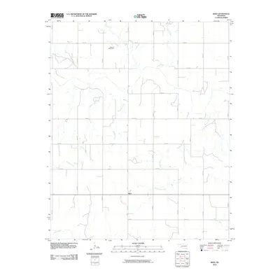
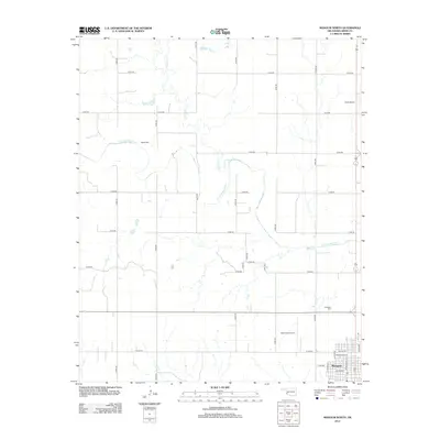
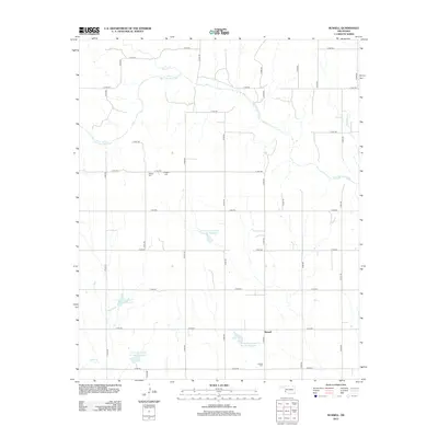
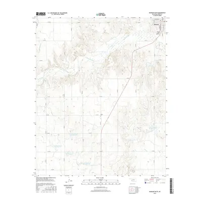
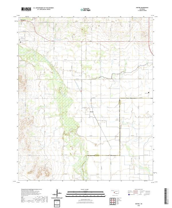
1971 Map of Hester
USGS Topo · Published 1973About this map
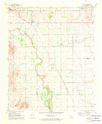
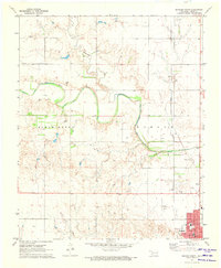
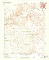
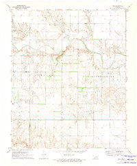
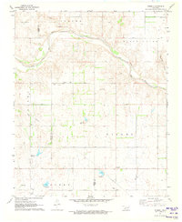
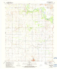
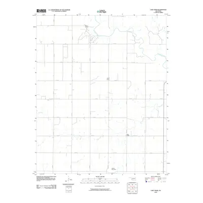
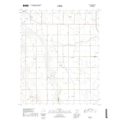
The Salt Fork Red River meanders through this Southwestern Oklahoma landscape, defining the boundary between the Mangum and Tilley townships. In the early 1970s, this region was characterized by its agricultural infrastructure, most notably the extensive irrigation network represented by the West Canal and numerous siphons feeding the surrounding fields. The small community of Hester serves as a central point, anchored by the Hester Cem and the Sandy Land Research Station. Transport and utility routes are clearly marked, including the Missouri - Kansas - Texas railroad line and a local sewage disposal site near the edge of Mangum. This survey also documents fine details of the rural landscape, such as the Borders Lake and Roadside Park, providing a clear view of the intersection between the natural river course and human-engineered water management.
Find a feature on this map
18 named features on this map. Tap any name to fly to it.
Don’t see what you’re looking for? This feature index may not catch every label — zoom into the map to look around manually.
Map Details
Editions of this 1971 Hester Map
This is the sole edition of this map. No revisions or reprints were ever made.
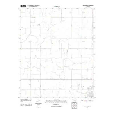
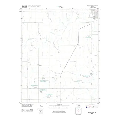
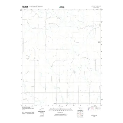
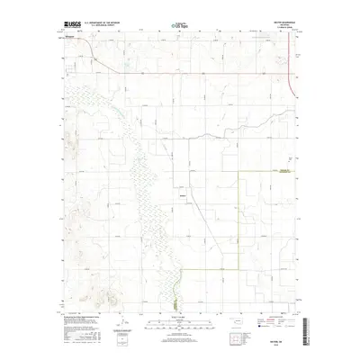
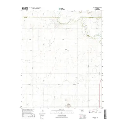
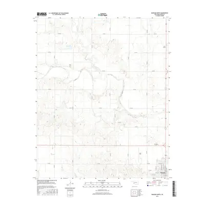
Historical Maps of Mangum Through Time
42 maps found
1971 Hester
Greer County, OK
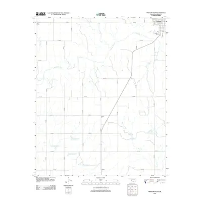
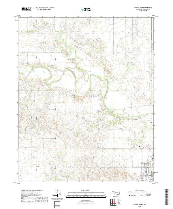
1971 Mangum North
Greer County, OK
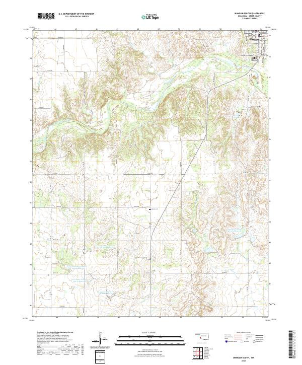
1971 Mangum South
Greer County, OK
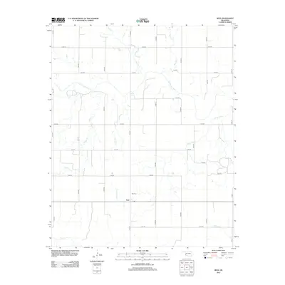
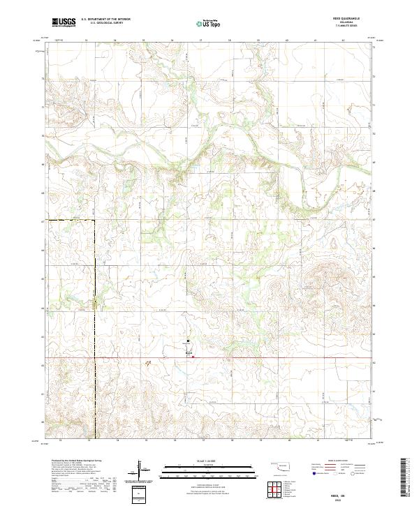
1971 Reed
Greer County, OK
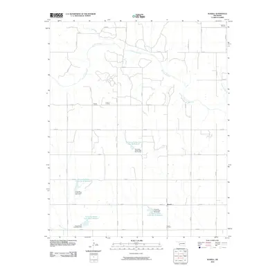
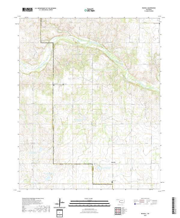
1971 Russell
Greer County, OK
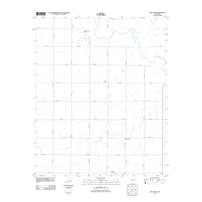
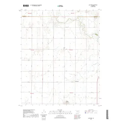
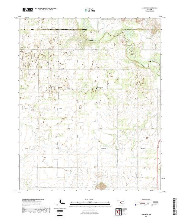
1989 Lake Creek
Greer County, OK
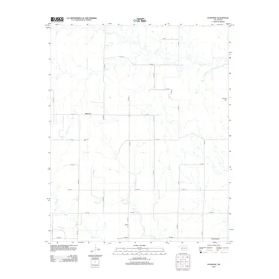
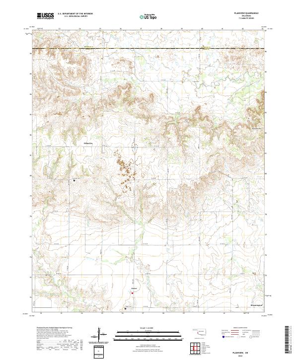
1989 Plainview
Greer County, OK
2010 Hester
Greer County, OK
2010 Lake Creek
Greer County, OK
2010 Mangum North
Greer County, OK
2010 Mangum South
Greer County, OK
2010 Plainview
Greer County, OK
2010 Reed
Greer County, OK
2010 Russell
Greer County, OK
2012 Hester
Greer County, OK
2012 Lake Creek
Greer County, OK
2012 Mangum North
Greer County, OK
2012 Mangum South
Greer County, OK
2012 Plainview
Greer County, OK
2012 Reed
Greer County, OK
2012 Russell
Greer County, OK
2016 Hester
Greer County, OK
2016 Lake Creek
Greer County, OK
2016 Mangum North
Greer County, OK
2016 Mangum South
Greer County, OK
2016 Plainview
Greer County, OK
2016 Reed
Greer County, OK
2016 Russell
Greer County, OK
2018 Hester
Greer County, OK
2018 Lake Creek
Greer County, OK
2018 Mangum North
Greer County, OK
2018 Mangum South
Greer County, OK
2018 Plainview
Greer County, OK
2018 Reed
Greer County, OK
2018 Russell
Greer County, OK
2022 Hester
Greer County, OK
2022 Lake Creek
Greer County, OK
2022 Mangum North
Greer County, OK
2022 Mangum South
Greer County, OK
2022 Plainview
Greer County, OK
2022 Reed
Greer County, OK
2022 Russell
Greer County, OK