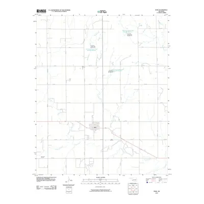
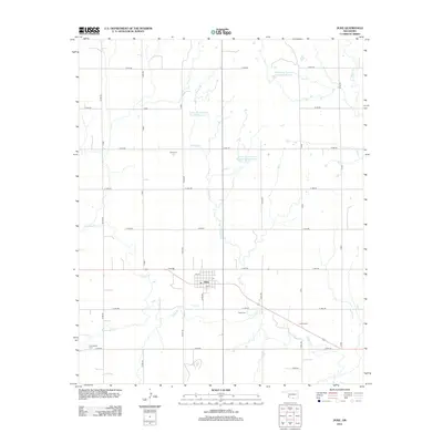
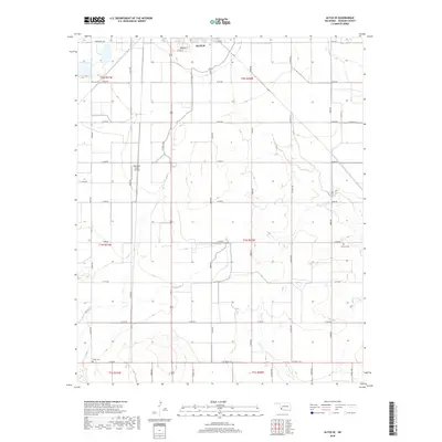
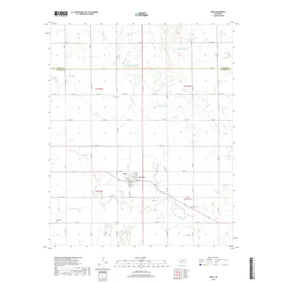
1971 Map of Duke
USGS Topo · Published 1973About this map
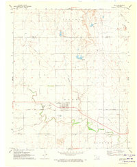
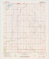
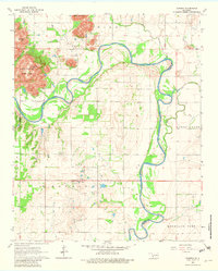
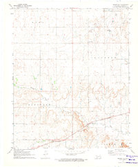
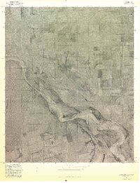
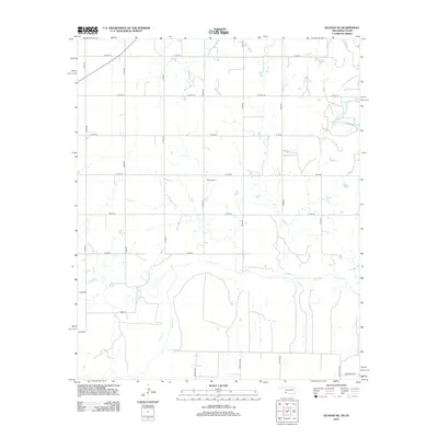
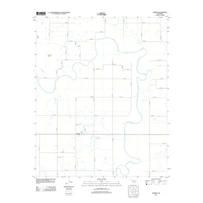
The agricultural and industrial landscape of southwest Oklahoma is documented here, centered on the community of Duke (East Duke) near the Greer and Jackson County line. The infrastructure of the early 1970s is well-defined, featuring the Hollis and Eastern railroad corridor and a local Landing Field. Specialized land use is visible through several quarries and water management features like Waste Ponds and a Sewage Disposal Pond. Local genealogy is anchored by established burial grounds, including Duke Cem, Cottonwood Cem, and Rock Cem. The terrain is drained by several watercourses such as Turkey Creek and Cottonwood Creek, which meander through the prairie landscape, while a long Pipeline segment cuts across the northern sections of the township, reflecting the regional energy economy.
Find a feature on this map
20 named features on this map. Tap any name to fly to it.
Don’t see what you’re looking for? This feature index may not catch every label — zoom into the map to look around manually.
Map Details
Editions of this 1971 Duke Map
This is the sole edition of this map. No revisions or reprints were ever made.
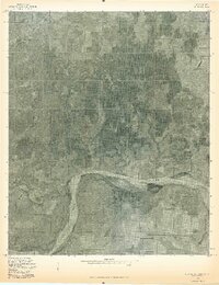
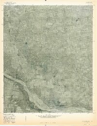
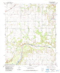
Historical Maps of East Duke Through Time
33 maps found
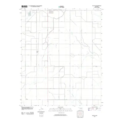
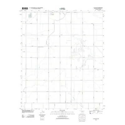
1963 Altus SE
Jackson County, OK
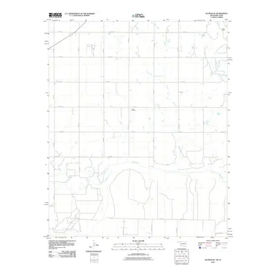
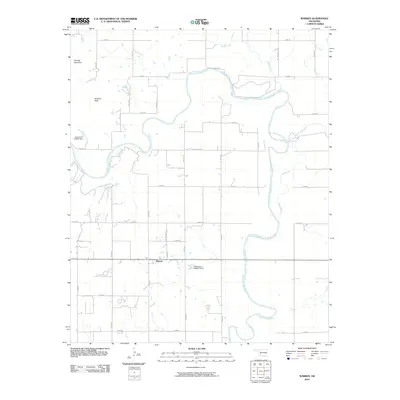
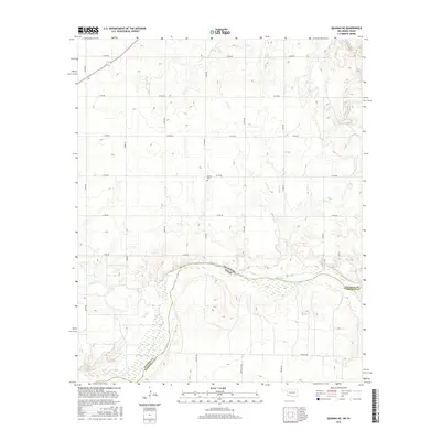
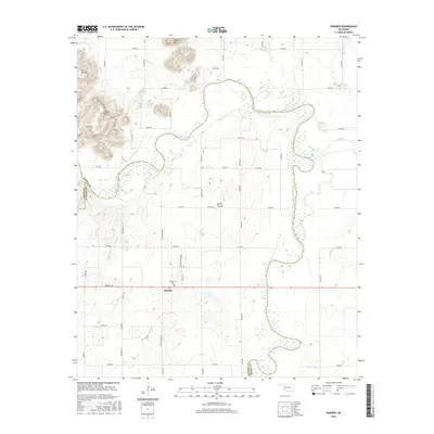
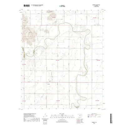
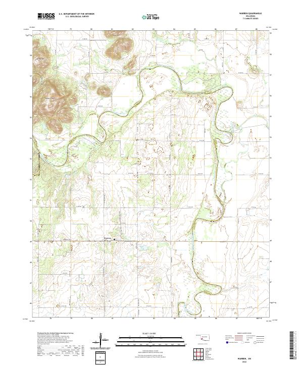
1964 Warren
Jackson County, OK
1971 Duke
Jackson County, OK
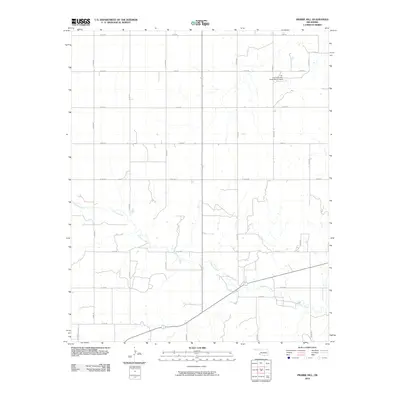
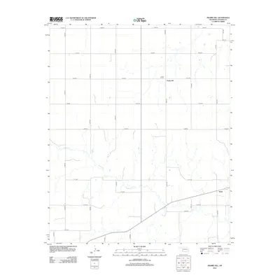
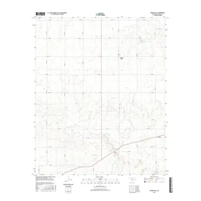
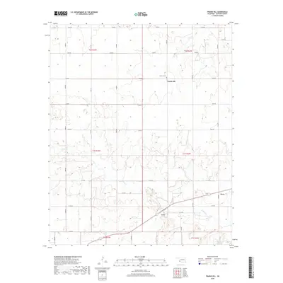
1971 Prairie Hill
Jackson County, OK
1975 Elmore City NE
Jackson County, OK
1975 Quanah NE
Jackson County, OK
1975 Quanah NW
Jackson County, OK
1984 Quanah NE
Jackson County, OK
2010 Altus SE
Jackson County, OK
2010 Duke
Jackson County, OK
2010 Prairie Hill
Jackson County, OK
2010 Quanah NE
Jackson County, OK
2010 Warren
Jackson County, OK
2012 Altus SE
Jackson County, OK
2012 Duke
Jackson County, OK
2012 Prairie Hill
Jackson County, OK
2012 Quanah NE
Jackson County, OK
2012 Warren
Jackson County, OK
2016 Altus SE
Jackson County, OK
2016 Duke
Jackson County, OK
2016 Prairie Hill
Jackson County, OK
2016 Quanah NE
Jackson County, OK
2016 Warren
Jackson County, OK
2018 Altus SE
Jackson County, OK
2018 Duke
Jackson County, OK
2018 Prairie Hill
Jackson County, OK
2018 Warren
Jackson County, OK
2019 Quanah NE
Jackson County, OK
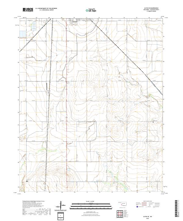
2022 Altus SE
Jackson County, OK
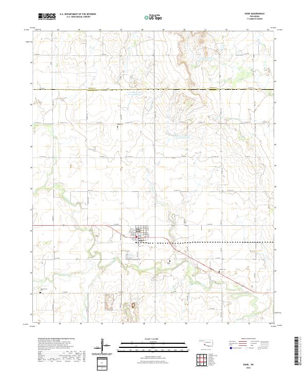
2022 Duke
Jackson County, OK
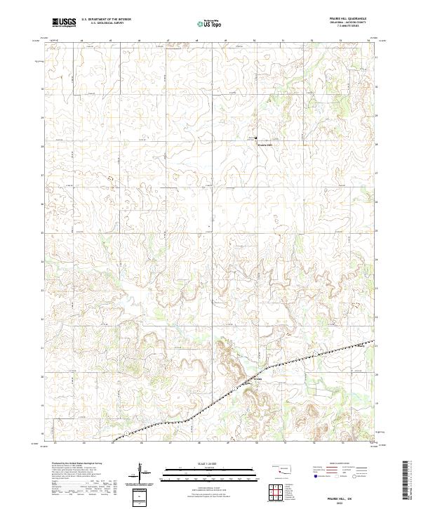
2022 Prairie Hill
Jackson County, OK
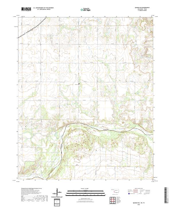
2022 Quanah NE
Jackson County, OK
2022 Warren
Jackson County, OK