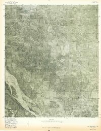
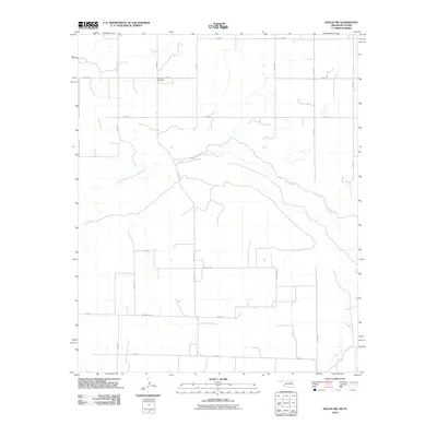
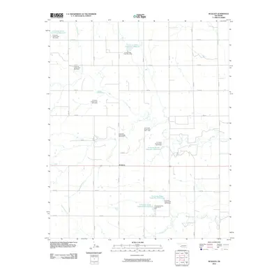
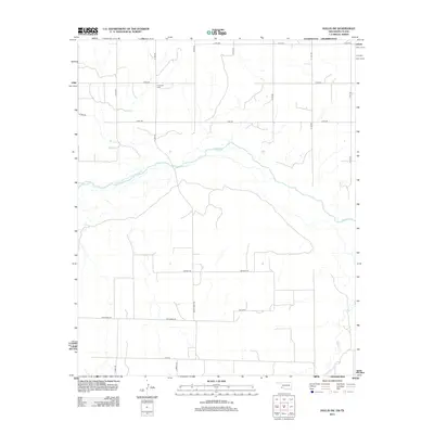
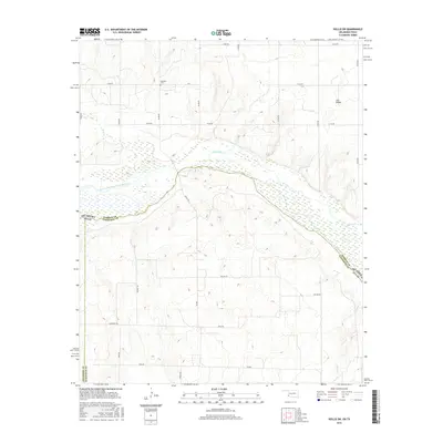
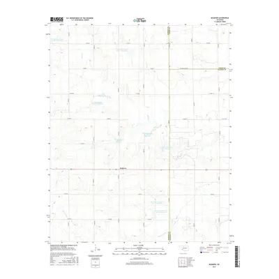
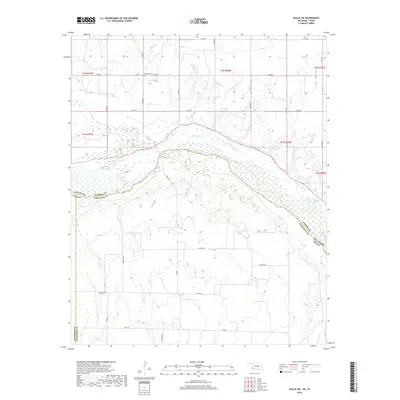
1971 Map of Mc Queen
USGS Topo · Published 1973About this map
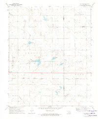
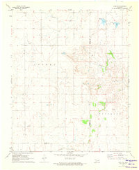
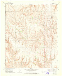
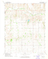
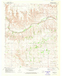
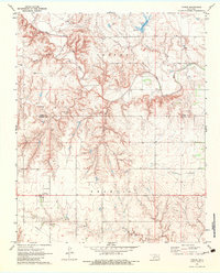
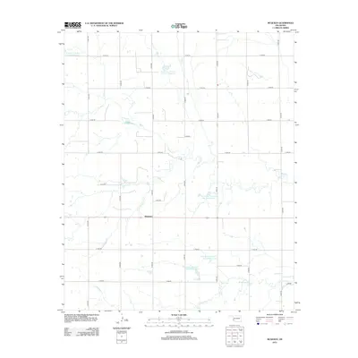
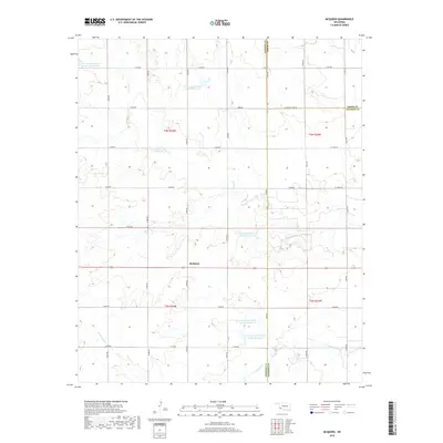
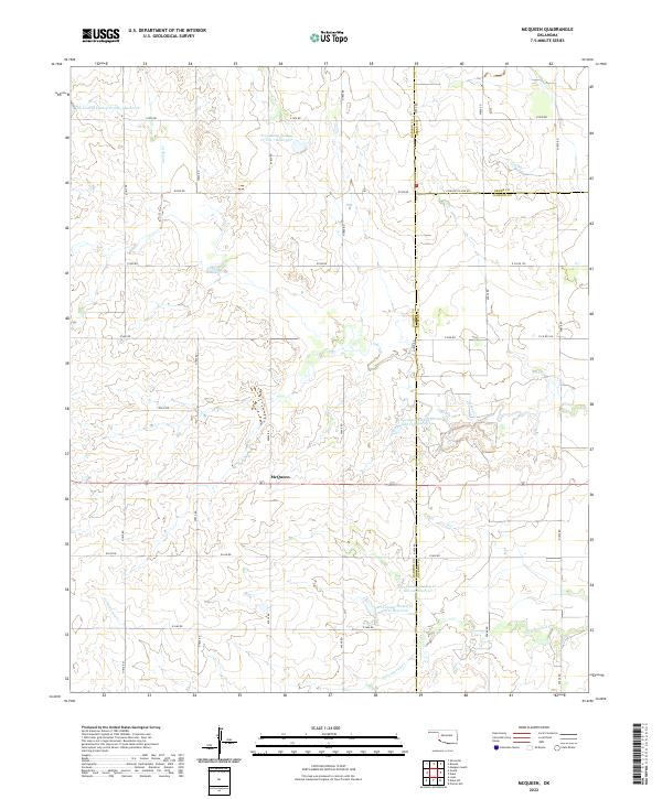
McQueen serves as the central settlement in this southwestern Oklahoma landscape, positioned at the intersection of several early 1970s land divisions including Looney, Martin, and Tilley. The terrain is defined by the drainage networks of Turkey Creek and Cottonwood Creek, which are punctuated by numerous water control structures such as Spillway Elev 1499 and Spillway Elev 1487. These spillways reflect a highly managed hydrological system designed to support the local agricultural economy. The presence of the Hollis and Eastern railway corridor and various scattered Well and Wells locations suggests a mix of transport-oriented settlement and rural resource extraction. The map also documents the triple-county junction where Harmon, Greer, and Jackson counties meet, providing clear boundary data for local historians.
Find a feature on this map
22 named features on this map. Tap any name to fly to it.
Don’t see what you’re looking for? This feature index may not catch every label — zoom into the map to look around manually.
Map Details
Editions of this 1971 Mc Queen Map
This is the sole edition of this map. No revisions or reprints were ever made.
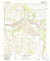
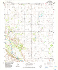
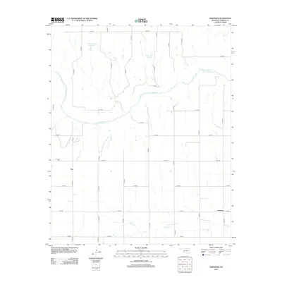
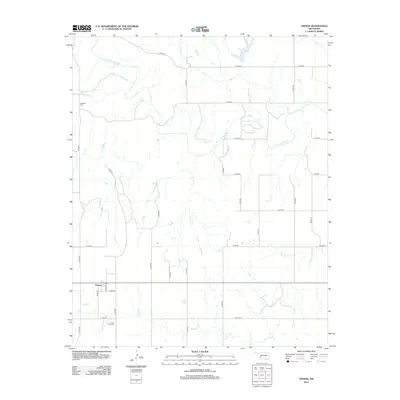
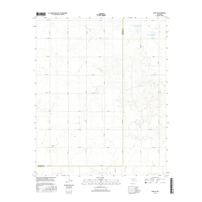
Historical Maps of McQueen Through Time
51 maps found
1971 Duke SW
Harmon County, OK
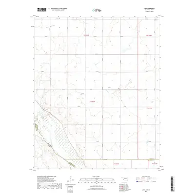
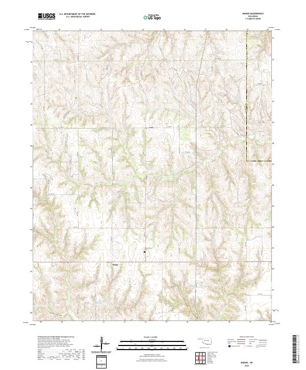
1971 Madge
Harmon County, OK
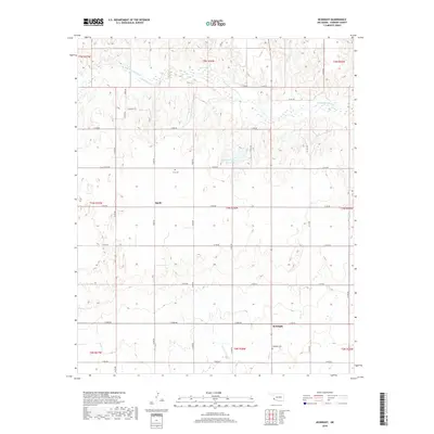
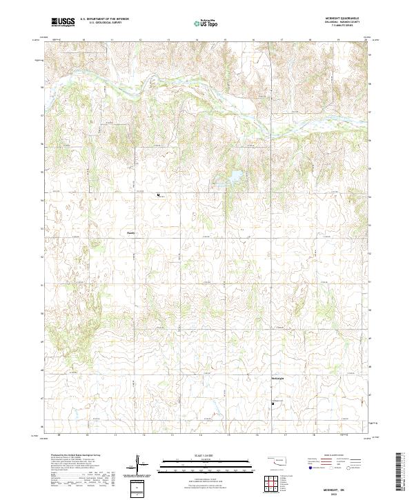
1971 Mc Knight
Harmon County, OK
1971 Mc Queen
Harmon County, OK
1971 Shrewder
Harmon County, OK
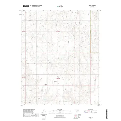
1971 Vinson
Harmon County, OK
1975 Hollis NE
Harmon County, OK
1975 Hollis NW
Harmon County, OK
1975 Hollis SE
Harmon County, OK
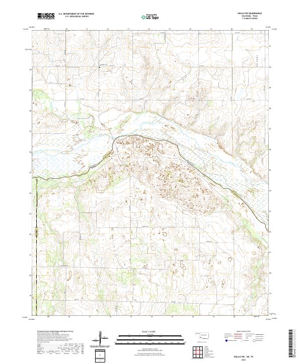
1985 Hollis SW
Harmon County, OK
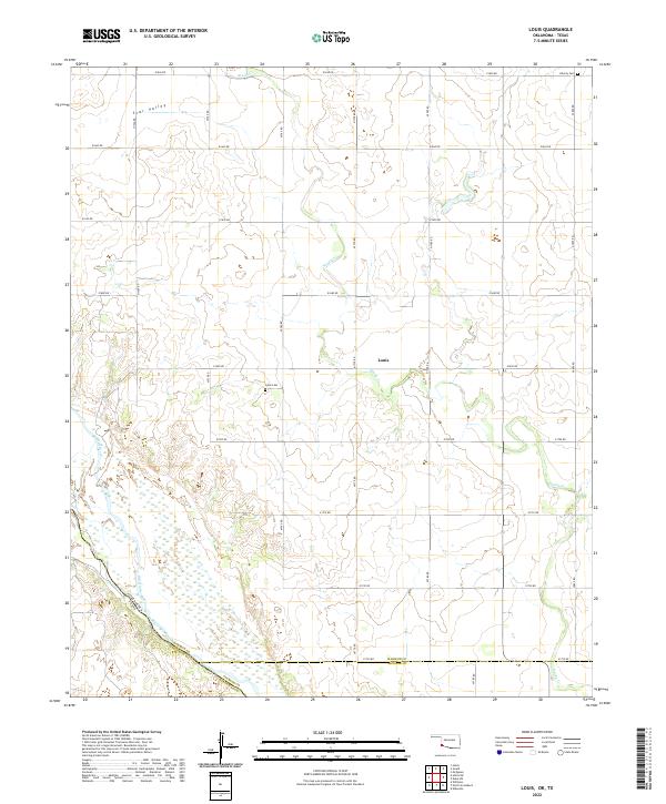
1985 Louis
Harmon County, OK
2010 Duke SW
Harmon County, OK
2010 Hollis SW
Harmon County, OK
2010 Louis
Harmon County, OK
2010 Madge
Harmon County, OK
2010 McKnight
Harmon County, OK
2010 McQueen
Harmon County, OK
2010 Shrewder
Harmon County, OK
2010 Vinson
Harmon County, OK
2012 Duke SW
Harmon County, OK
2012 Hollis SW
Harmon County, OK
2012 Louis
Harmon County, OK
2012 Madge
Harmon County, OK
2012 McKnight
Harmon County, OK
2012 McQueen
Harmon County, OK
2012 Shrewder
Harmon County, OK
2012 Vinson
Harmon County, OK
2016 Duke SW
Harmon County, OK
2016 Hollis SW
Harmon County, OK
2016 Louis
Harmon County, OK
2016 Madge
Harmon County, OK
2016 McKnight
Harmon County, OK
2016 McQueen
Harmon County, OK
2016 Shrewder
Harmon County, OK
2016 Vinson
Harmon County, OK
2018 Duke SW
Harmon County, OK
2018 Hollis SW
Harmon County, OK
2018 Louis
Harmon County, OK
2018 Madge
Harmon County, OK
2018 McKnight
Harmon County, OK
2018 McQueen
Harmon County, OK
2018 Shrewder
Harmon County, OK
2018 Vinson
Harmon County, OK
2022 Duke SW
Harmon County, OK
2022 Hollis SW
Harmon County, OK
2022 Louis
Harmon County, OK
2022 Madge
Harmon County, OK
2022 McKnight
Harmon County, OK
2022 McQueen
Harmon County, OK
2022 Shrewder
Harmon County, OK
2022 Vinson
Harmon County, OK