
1975 Map of Hollis NE
USGS Topo · Published 1975About this map
Gould anchors the eastern edge of this 1975 orthophoto survey, providing a rare photographic look at this Harmon County landscape. The aerial imagery reveals the intricate quilt of agricultural fields and pastureland that defines the region, where the winding path of Sandy Creek carves through the southwestern corner of the quadrangle. This advance print preserves the exact texture of the ground during the mid-1970s, showing the specific layout of homesteads and the drainage patterns of the rural plains. As an orthophotograph, this map offers a literal visual record of land use and vegetation density, making it a valuable tool for understanding the physical evolution of the Oklahoma prairie beyond what traditional topographic symbols can convey.
Find a feature on this map
2 named features on this map. Tap any name to fly to it.
Don’t see what you’re looking for? This feature index may not catch every label — zoom into the map to look around manually.
Map Details
Editions of this 1975 Hollis NE Map
This is the sole edition of this map. No revisions or reprints were ever made.
Other maps of this area

1955 · Lawton
USGS Topo · 1:250,000

1961 · Hollis
USGS Topo · 1:62,500

1971 · Russell
USGS Topo · 1:24,000
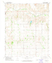
1971 · Mc Knight
USGS Topo · 1:24,000

1971 · Mc Queen
USGS Topo · 1:24,000

1971 · Duke SW
USGS Topo · 1:24,000
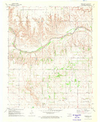
1971 · Shrewder
USGS Topo · 1:24,000

1975 · Hollis SE
USGS Topo · 1:24,000
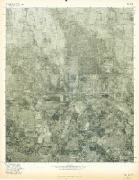
1975 · Hollis NW
USGS Topo · 1:24,000
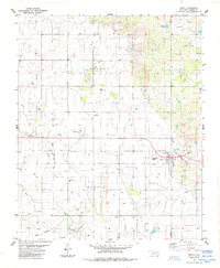
1985 · Gould
USGS Topo · 1:24,000