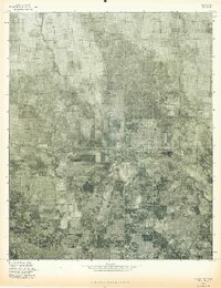
1975 Map of Hollis NW
USGS Topo · Published 1975About this map
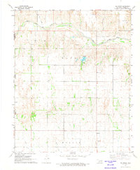
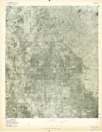
Hollis serves as the central hub of this agricultural region in Southwest Oklahoma, captured in a 1975 aerial orthophotograph. The gridded streets of the settlement contrast sharply with the expansive surrounding farmland and the natural meandering of Sandy Creek to the north and east. This map provides a clear view of the town's structural layout and the field patterns that defined the rural economy during the mid-1970s. The orthophoto format offers a unique perspective for researchers, revealing the exact tree lines, field boundaries, and road networks as they existed before modern developments altered the landscape of Harmon County.
Find a feature on this map
2 named features on this map. Tap any name to fly to it.
Don’t see what you’re looking for? This feature index may not catch every label — zoom into the map to look around manually.
Map Details
Editions of this 1975 Hollis NW Map
This is the sole edition of this map. No revisions or reprints were ever made.
Other maps of this area

1954 · Plainview
USGS Topo · 1:250,000

1955 · Lawton
USGS Topo · 1:250,000

1958 · Plainview
USGS Topo · 1:250,000
1960 · Loco
USGS Topo · 1:62,500
1961 · Hollis
USGS Topo · 1:62,500
1964 · Dodson
USGS Topo · 1:24,000
1971 · Mc Knight
USGS Topo · 1:24,000
1971 · Shrewder
USGS Topo · 1:24,000
1975 · Hollis NE
USGS Topo · 1:24,000
1975 · Hollis SE
USGS Topo · 1:24,000