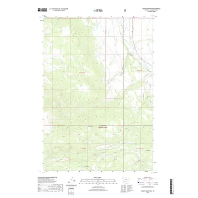
2020 Map of Granite Mountain
USGS Topo · Published 2020About this map
Beaverhead National Forest land dominates this high-altitude Madison County landscape, where the Madison River carves a path through the northeastern corner. The topography is defined by the massive rise of Granite Mtn and the neighboring Gazelle Butte, providing a detailed look at the drainage systems of the Gravelly Range. Water management and natural springs are evident through features like the Hyde Cr Ditch and Big Spring.
Find a feature on this map
54 named features on this map. Tap any name to fly to it.
Don’t see what you’re looking for? This feature index may not catch every label — zoom into the map to look around manually.
Map Details
Editions of this 2020 Granite Mountain Map
This is the sole edition of this map. No revisions or reprints were ever made.
Other maps of this area

1888 · Three Forks
USGS Topo · 1:250,000

1894 · Three Forks
USGS Topo · 1:250,000

1895 · Three Forks
USGS Topo · 1:250,000

1947 · Bozeman
USGS Topo · 1:250,000

1948 · Bozeman
USGS Topo · 1:250,000

1949 · Varney
USGS Topo · 1:62,500

1950 · Cliff Lake
USGS Topo · 1:62,500

1950 · Cameron
USGS Topo · 1:62,500

1950 · Monument Ridge
USGS Topo · 1:62,500

1955 · Bozeman
USGS Topo · 1:250,000