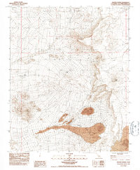
1983 Map of Granite Spring
USGS Topo · Published 1984About this map
Granite Spring and Henry Spring provide rare water sources in this arid stretch of the Mojave Desert within San Bernardino County. The landscape is dominated by volcanic activity, most notably the prominent Cinder Cone and extensive flows of Lava that spill across the southern portion of the quadrangle. In the northern reaches, small-scale mining activity is indicated by scattered Prospects, suggesting the persistent search for minerals in this geologically active terrain.
Find a feature on this map
12 named features on this map. Tap any name to fly to it.
Don’t see what you’re looking for? This feature index may not catch every label — zoom into the map to look around manually.
Map Details
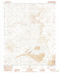
Editions of this 1983 Granite Spring Map
2 editions found
Other maps of this area

1910 · Ivanpah
USGS Topo · 1:250,000

1912 · Ivanpah
USGS Topo · 1:250,000

1942 · Ivanpah
USGS Topo · 1:250,000

1947 · Kingman
USGS Topo · 1:250,000

1948 · Kingman
USGS Topo · 1:250,000

1954 · Kingman
USGS Topo · 1:250,000

1955 · Kingman
USGS Topo · 1:250,000

1955 · Mescal Range
USGS Topo · 1:62,500

1955 · Kelso
USGS Topo · 1:62,500

1956 · Halloran Spring
USGS Topo · 1:62,500