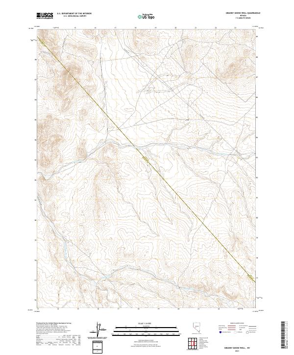
2021 Map of Granny Goose Well
USGS Topo · Published 2021About this map
Antone Wash cuts across this high desert landscape along the border of Nye and Mineral counties. The drainage network is further defined by Finger Rock Wash and Omco Wash, illustrating the natural water runoff patterns across this arid basin. Modern infrastructure is limited to several specialized routes, including Poleline Rd and Finger Rock Rd, which traverse the open range. The presence of Fmc-Paradise Pk Rd in the northwest corner suggests access to industrial or recreational sites nearby. This map serves as a primary record of the topographic relief and survey boundaries within t10n r36e and t9n r37e as they appeared during this 2021 survey.
Find a feature on this map
12 named features on this map. Tap any name to fly to it.
Don’t see what you’re looking for? This feature index may not catch every label — zoom into the map to look around manually.
Map Details
Editions of this 2021 Granny Goose Well Map
This is the sole edition of this map. No revisions or reprints were ever made.
Other maps of this area

1907 · Tonopah
USGS Topo · 1:250,000

1908 · Tonopah
USGS Topo · 1:250,000

1909 · Hawthorne
USGS Topo · 1:250,000

1911 · Hawthorne
USGS Topo · 1:250,000

1915 · Hawthorne
USGS Topo · 1:250,000

1948 · Paradise Peak
USGS Topo · 1:62,500

1948 · Walker Lake
USGS Topo · 1:250,000

1950 · Paradise Peak
USGS Topo · 1:62,500

1956 · Tonopah
USGS Topo · 1:250,000

1957 · Walker Lake
USGS Topo · 1:250,000