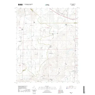
2018 Map of Grant
USGS Topo · Published 2018About this map
Paint Rock River winds through this northern Alabama landscape at the intersection of Madison, Marshall, and Jackson Counties. The 2018 terrain is defined by dramatic topographic shifts, from the low-lying wetlands of Pond Cr to the heights of Keel Mtn and Gunters Mtn. Smaller settlements such as Woodville, Nebo, and Grant anchor the local road network, which includes historically named routes like Butler Mill Rd and Wesley Childers Rd.
Find a feature on this map
117 named features on this map. Tap any name to fly to it.
Don’t see what you’re looking for? This feature index may not catch every label — zoom into the map to look around manually.
Map Details
Editions of this 2018 Grant Map
This is the sole edition of this map. No revisions or reprints were ever made.
Other maps of this area

1885 · Gadsden
USGS Topo · 1:125,000

1888 · Gadsden
USGS Topo · 1:125,000

1888 · Scottsboro
USGS Topo · 1:125,000

1892 · Scottsboro
USGS Topo · 1:125,000

1892 · Gadsden
USGS Topo · 1:125,000

1895 · Gadsden
USGS Topo · 1:125,000

1903 · Gadsden
USGS Topo · 1:125,000

1936 · Columbus City
USGS Topo · 1:24,000

1936 · New Hope
USGS Topo · 1:24,000

1936 · Guntersville Dam
USGS Topo · 1:24,000