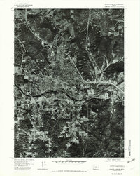
1974 Map of Grants Pass NE
USGS Topo · Published 1979About this map
Grants Pass sits at the heart of this 1974 orthophotoquad, where the urban grid meets the winding course of the Rogue River. Unlike a traditional topographic map, this aerial survey provides a photographic record of the mid-1970s landscape, showing the density of neighborhoods, commercial corridors, and the expansion of the town toward the surrounding foothills. The imagery captures the distinct vegetation patterns and land use surrounding Gilbert Creek and Louise Creek before further late-century development.
Find a feature on this map
5 named features on this map. Tap any name to fly to it.
Don’t see what you’re looking for? This feature index may not catch every label — zoom into the map to look around manually.
Map Details
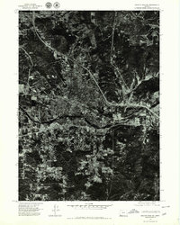
Editions of this 1974 Grants Pass NE Map
2 editions found
Other maps of this area

1904 · Riddle
USGS Topo · 1:125,000

1908 · Grants Pass
USGS Topo · 1:125,000

1954 · Glendale
USGS Topo · 1:62,500

1954 · Gold Hill
USGS Topo · 1:62,500

1954 · Wimer
USGS Topo · 1:62,500

1954 · Grants Pass
USGS Topo · 1:62,500

1955 · Medford
USGS Topo · 1:250,000

1957 · Medford
USGS Topo · 1:250,000

1958 · Medford
USGS Topo · 1:250,000

1974 · Grants Pass NW
USGS Topo · 1:24,000