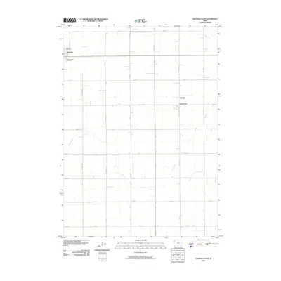
2010 Map of Granville East
USGS Topo · Published 2010About this map
Granville is situated at the northwestern edge of this landscape, serving as a primary settlement point alongside the community of Germantown to the east. This section of Sioux County is defined by a strictly organized township and range grid, where numbered streets and named avenues like Martin Ave and Monroe Ave segment the agricultural territory. The area's spiritual and community history is anchored by Saint Josephs Cemetery near the Granville Post Office, while Saint John Cemetery lies further east. The prairie drainage system is intricately mapped, featuring the winding paths of Deep Creek, Mud Creek, and the curiously named Whiskey Creek. This 2010 survey reflects the enduring rural character of Northwest Iowa, where the land is largely dedicated to large-scale farming with homesites scattered along the section lines.
Find a feature on this map
31 named features on this map. Tap any name to fly to it.
Don’t see what you’re looking for? This feature index may not catch every label — zoom into the map to look around manually.
Map Details
Editions of this 2010 Granville East Map
This is the sole edition of this map. No revisions or reprints were ever made.
Other maps of this area

1954 · Fairmont
USGS Topo · 1:250,000

1954 · Fort Dodge
USGS Topo · 1:250,000

1957 · Fort Dodge
USGS Topo · 1:250,000

1958 · Fort Dodge
USGS Topo · 1:250,000

1958 · Fairmont
USGS Topo · 1:250,000

1964 · Hospers
USGS Topo · 1:24,000

1964 · Sheldon SE
USGS Topo · 1:24,000

1964 · Primghar
USGS Topo · 1:24,000

1969 · Cleghorn
USGS Topo · 1:24,000
1969 · Granville West
USGS Topo · 1:24,000