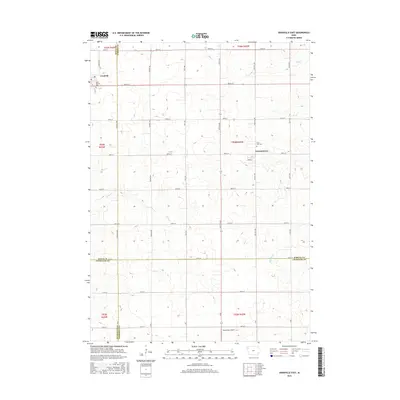
2015 Map of Granville East
USGS Topo · Published 2015About this map
Granville and the smaller settlement of Germantown anchor this agricultural landscape at the intersection of Sioux, O'Brien, Plymouth, and Cherokee counties. The terrain is defined by a rhythmic grid of rural roads such as McKinley Ave and 460th St, which segment the rolling plains and direct the flow of local commerce. Local heritage is preserved at Saint Josephs Cem on the edge of Granville and Saint John Cem near Germantown, serving as primary touchpoints for genealogical research in this part of Northwest Iowa.
Find a feature on this map
42 named features on this map. Tap any name to fly to it.
Don’t see what you’re looking for? This feature index may not catch every label — zoom into the map to look around manually.
Map Details
Editions of this 2015 Granville East Map
This is the sole edition of this map. No revisions or reprints were ever made.
Other maps of this area

1954 · Fairmont
USGS Topo · 1:250,000

1954 · Fort Dodge
USGS Topo · 1:250,000

1957 · Fort Dodge
USGS Topo · 1:250,000

1958 · Fort Dodge
USGS Topo · 1:250,000

1958 · Fairmont
USGS Topo · 1:250,000

1964 · Hospers
USGS Topo · 1:24,000

1964 · Sheldon SE
USGS Topo · 1:24,000

1964 · Primghar
USGS Topo · 1:24,000

1969 · Cleghorn
USGS Topo · 1:24,000
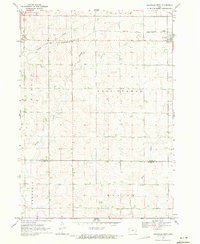
1969 · Granville West
USGS Topo · 1:24,000