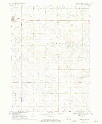
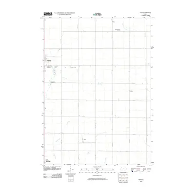
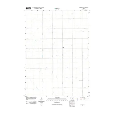
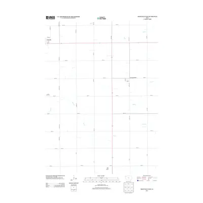
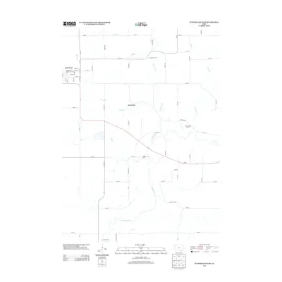
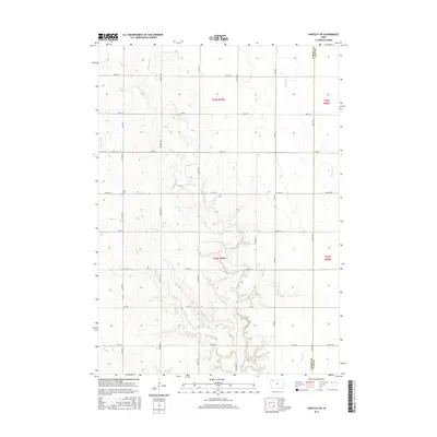
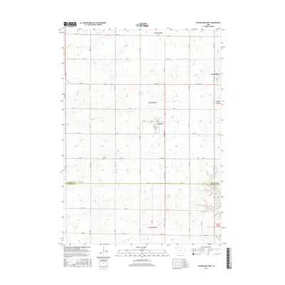
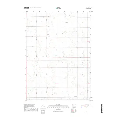
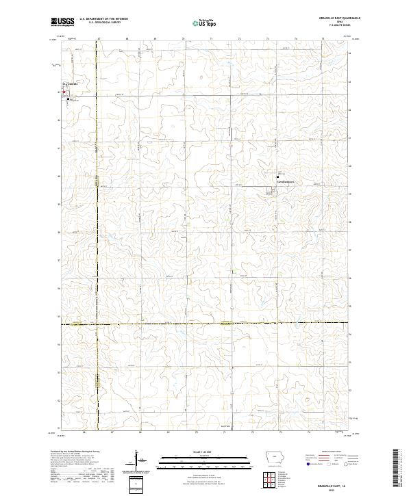
1969 Map of Granville East
USGS Topo · Published 1971About this map
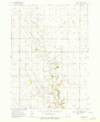
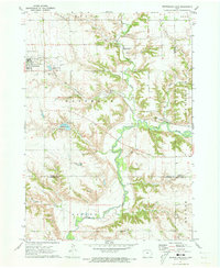
The town of Granville sits at the northwestern edge of this landscape, characterized by the precise grid of 1960s agricultural Iowa. The Chicago and North Western railroad cuts a straight diagonal across the northern plains, serving the grain-rich townships of Floyd, Baker, and Caledonia. This era reveals a well-developed network of section roads and a complex system of underground infrastructure, including a prominent Pipeline crossing through the central and eastern sections near Germantown.
Find a feature on this map
28 named features on this map. Tap any name to fly to it.
Don’t see what you’re looking for? This feature index may not catch every label — zoom into the map to look around manually.
Map Details
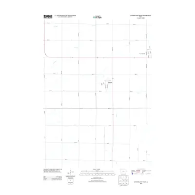
Editions of this 1969 Granville East Map
This is the sole edition of this map. No revisions or reprints were ever made.
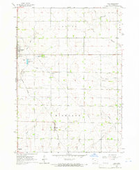
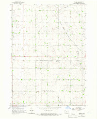
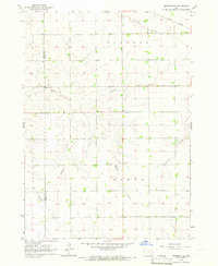
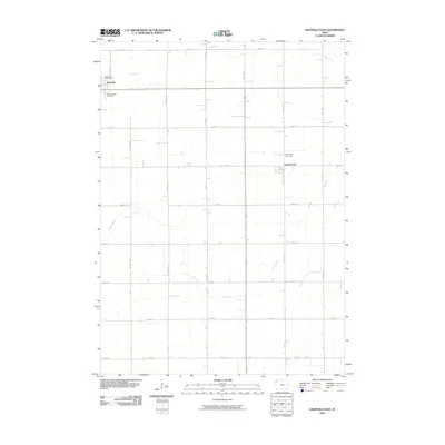
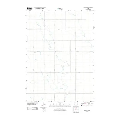
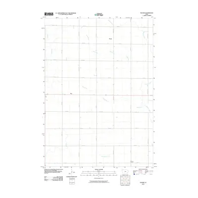
Historical Maps of Granville Through Time
43 maps found
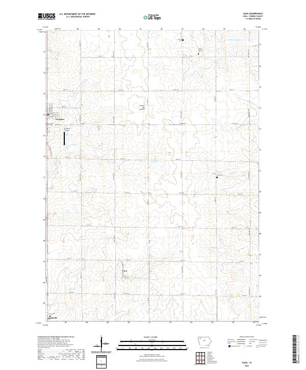
1964 Gaza
O'Brien County, IA
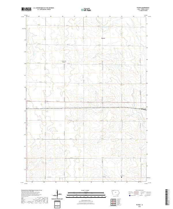
1964 Plessis
O'Brien County, IA
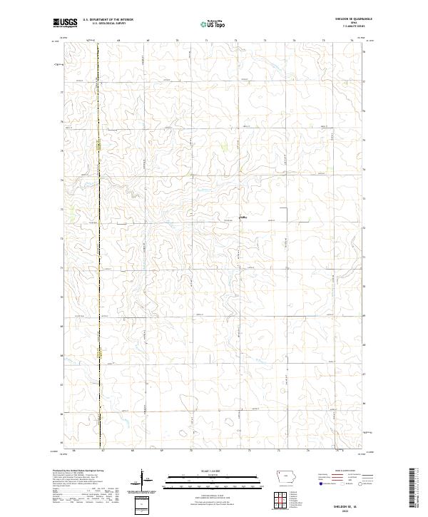
1964 Sheldon SE
O'Brien County, IA
1969 Granville East
O'Brien County, IA
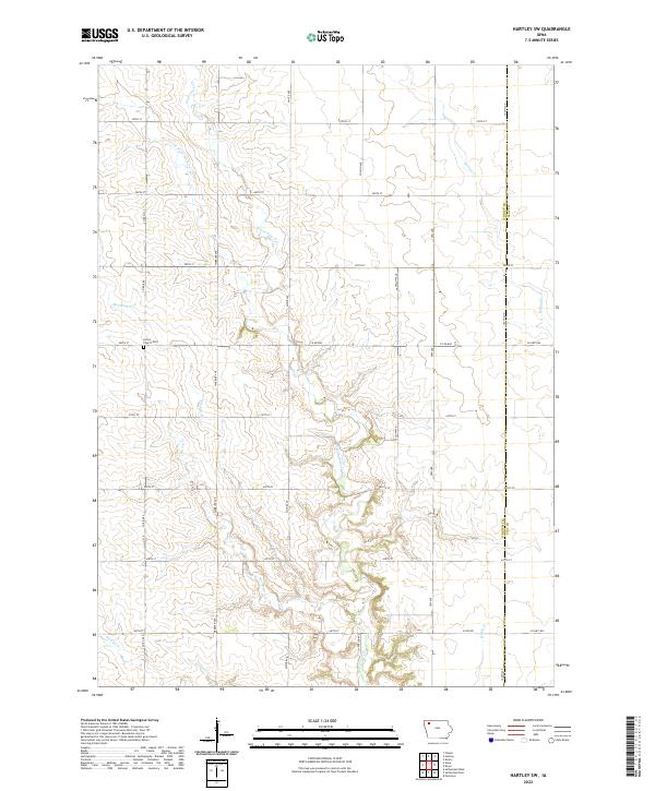
1970 Hartley SW
O'Brien County, IA
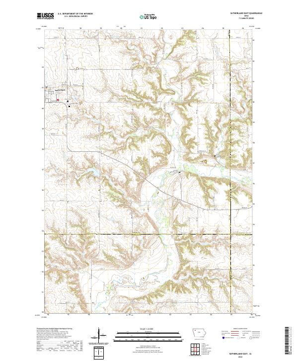
1971 Sutherland East
O'Brien County, IA
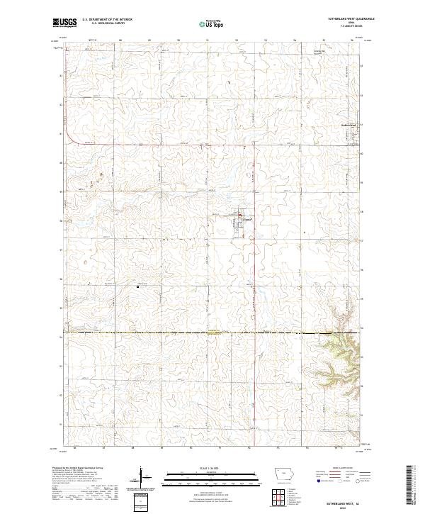
1971 Sutherland West
O'Brien County, IA
1985 Iowa Great Lakes
O'Brien County, IA
2010 Gaza
O'Brien County, IA
2010 Granville East
O'Brien County, IA
2010 Hartley SW
O'Brien County, IA
2010 Plessis
O'Brien County, IA
2010 Sheldon SE
O'Brien County, IA
2010 Sutherland East
O'Brien County, IA
2010 Sutherland West
O'Brien County, IA
2013 Gaza
O'Brien County, IA
2013 Granville East
O'Brien County, IA
2013 Hartley SW
O'Brien County, IA
2013 Plessis
O'Brien County, IA
2013 Sheldon SE
O'Brien County, IA
2013 Sutherland East
O'Brien County, IA
2013 Sutherland West
O'Brien County, IA
2015 Gaza
O'Brien County, IA
2015 Granville East
O'Brien County, IA
2015 Hartley SW
O'Brien County, IA
2015 Plessis
O'Brien County, IA
2015 Sheldon SE
O'Brien County, IA
2015 Sutherland East
O'Brien County, IA
2015 Sutherland West
O'Brien County, IA
2018 Gaza
O'Brien County, IA
2018 Granville East
O'Brien County, IA
2018 Hartley SW
O'Brien County, IA
2018 Plessis
O'Brien County, IA
2018 Sheldon SE
O'Brien County, IA
2018 Sutherland East
O'Brien County, IA
2018 Sutherland West
O'Brien County, IA
2022 Gaza
O'Brien County, IA
2022 Granville East
O'Brien County, IA
2022 Hartley SW
O'Brien County, IA
2022 Plessis
O'Brien County, IA
2022 Sheldon SE
O'Brien County, IA
2022 Sutherland East
O'Brien County, IA
2022 Sutherland West
O'Brien County, IA