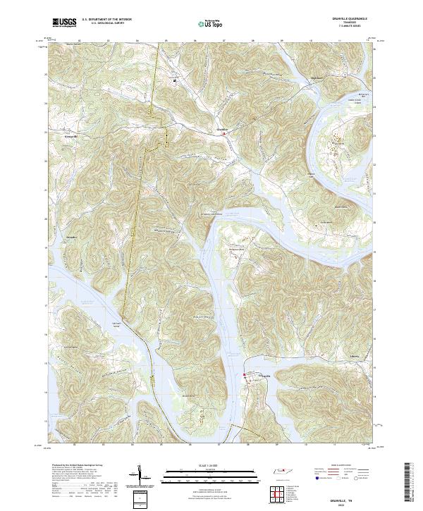
2022 Map of Granville
USGS Topo · Published 2022About this map
Cordell Hull Reservoir dominates the landscape where the Cumberland River winds through the broken hills of Jackson and Smith Counties. The settlement of Granville sits near the southern bend of the reservoir, a historic river community once defined by its proximity to Niagara Shoals. To the north and west, the terrain is deeply dissected by numerous hollows and creeks, including Little Salt Lick Cr and Buffalo Cr, which provided natural corridors for early development. Small upland communities like Kempville, Gladdice, and Highland are interspersed among family-named landmarks such as Holland Cem and Bakers Knob. The intricate network of ridges and drainage basins, including Sutton Hollow and Stillhouse Hollow, reflects a long history of rural settlement where geography dictated the placement of roads and homesteads. Local history is etched into the landscape through features like Sullivans Island and McCarvers Bar, marking the river's original path before the reservoir era.
Find a feature on this map
117 named features on this map. Tap any name to fly to it.
Don’t see what you’re looking for? This feature index may not catch every label — zoom into the map to look around manually.
Map Details
Editions of this 2022 Granville Map
This is the sole edition of this map. No revisions or reprints were ever made.
Other maps of this area

1925 · Gainesboro
USGS Topo · 1:62,500

1928 · Gordonsville
USGS Topo · 1:62,500

1929 · Gainesboro
USGS Topo · 1:62,500

1932 · Carthage
USGS Topo · 1:62,500

1942 · Statesville
USGS Topo · 1:100,000

1943 · Cookeville
USGS Topo · 1:100,000

1944 · Cookeville
USGS Topo · 1:100,000

1955 · Baxter
USGS Topo · 1:24,000

1956 · Corbin
USGS Topo · 1:250,000

1958 · Corbin
USGS Topo · 1:250,000