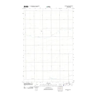
2011 Map of Granville SW
USGS Topo · Published 2011About this map
Rising sits at the heart of this McHenry County landscape, a central point in a highly organized agricultural grid defined by numbered avenues and streets. The geography is subtly marked by the winding course of Egg Creek, which meanders across the northern half of the survey, and South Egg Creek to the south. These seasonal waterways provide the only break in the rectilinear pattern of the North Dakota prairie, suggesting a landscape where land use is dictated by the precise section lines of the Public Land Survey System.
Find a feature on this map
19 named features on this map. Tap any name to fly to it.
Don’t see what you’re looking for? This feature index may not catch every label — zoom into the map to look around manually.
Map Details
Editions of this 2011 Granville SW Map
This is the sole edition of this map. No revisions or reprints were ever made.
Other maps of this area

1929 · Sawyer
USGS Topo · 1:62,500

1948 · Velva
USGS Topo · 1:62,500

1949 · Norwich
USGS Topo · 1:24,000

1949 · Granville NE
USGS Topo · 1:24,000

1949 · Simcoe
USGS Topo · 1:24,000

1949 · Sawyer NE
USGS Topo · 1:24,000

1949 · Deering SE
USGS Topo · 1:24,000

1949 · Granville NW
USGS Topo · 1:24,000

1949 · Granville SW
USGS Topo · 1:24,000

1949 · Deering
USGS Topo · 1:24,000