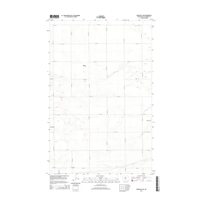
2014 Map of Granville SW
USGS Topo · Published 2014About this map
Rising and the outskirts of Norwich define this agricultural landscape in McHenry County. The terrain is shaped by the winding course of Egg Cr, which flows eastward through the northern half of the sheet, and its counterpart S Egg Cr to the south. A geometric grid of section-line roads, such as 64th St N and 17th Ave N, underscores the deliberate division of the North Dakota prairie for modern farming. For those researching local heritage, the Norwich Cem sits near the intersection of 58th St N and Norwich Rd, serving as a vital landmark for tracing early families. The topographical detail also highlights drainage patterns through Hay Coulee, revealing how the natural hydrology of the plains continues to influence land use and transportation across the county.
Find a feature on this map
22 named features on this map. Tap any name to fly to it.
Don’t see what you’re looking for? This feature index may not catch every label — zoom into the map to look around manually.
Map Details
Editions of this 2014 Granville SW Map
This is the sole edition of this map. No revisions or reprints were ever made.
Other maps of this area
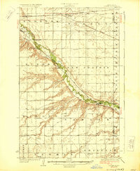
1929 · Sawyer
USGS Topo · 1:62,500
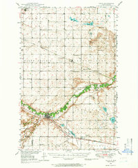
1948 · Velva
USGS Topo · 1:62,500
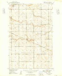
1949 · Norwich
USGS Topo · 1:24,000
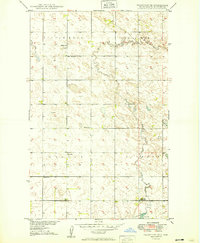
1949 · Granville NE
USGS Topo · 1:24,000
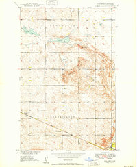
1949 · Simcoe
USGS Topo · 1:24,000
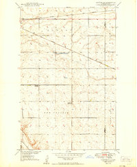
1949 · Sawyer NE
USGS Topo · 1:24,000
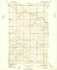
1949 · Deering SE
USGS Topo · 1:24,000
1949 · Granville NW
USGS Topo · 1:24,000
1949 · Granville SW
USGS Topo · 1:24,000
1949 · Deering
USGS Topo · 1:24,000