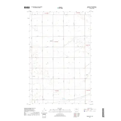
2017 Map of Granville SW
USGS Topo · Published 2017About this map
Rising sits near the center of this agricultural landscape in McHenry County, defined by the winding course of Egg Cr and its tributaries. The terrain is characterized by the prairie drainage patterns of Hay Coulee and S Egg Cr, which cut through the systematically surveyed sections of the North Dakota plains. Evidence of early rural community life is anchored by Norwich Cem in the southern portion of the quadrangle, accessible by Norwich Rd. This 2017 survey reflects the enduring grid of the Public Land Survey System, with township and range lines such as t156n r80w and t155n r80w governing the placement of local thoroughfares like 66th St N and 58th St N. The map provides a precise view of the modern rural infrastructure and watercourses that have shaped this region for generations.
Find a feature on this map
21 named features on this map. Tap any name to fly to it.
Don’t see what you’re looking for? This feature index may not catch every label — zoom into the map to look around manually.
Map Details
Editions of this 2017 Granville SW Map
This is the sole edition of this map. No revisions or reprints were ever made.
Other maps of this area
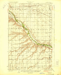
1929 · Sawyer
USGS Topo · 1:62,500
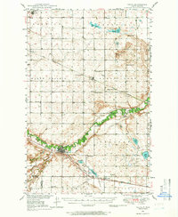
1948 · Velva
USGS Topo · 1:62,500
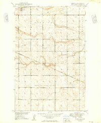
1949 · Norwich
USGS Topo · 1:24,000
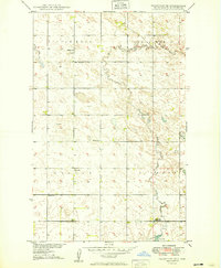
1949 · Granville NE
USGS Topo · 1:24,000
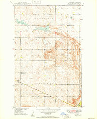
1949 · Simcoe
USGS Topo · 1:24,000
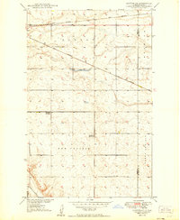
1949 · Sawyer NE
USGS Topo · 1:24,000
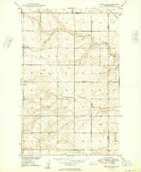
1949 · Deering SE
USGS Topo · 1:24,000
1949 · Granville NW
USGS Topo · 1:24,000
1949 · Granville SW
USGS Topo · 1:24,000
1949 · Deering
USGS Topo · 1:24,000