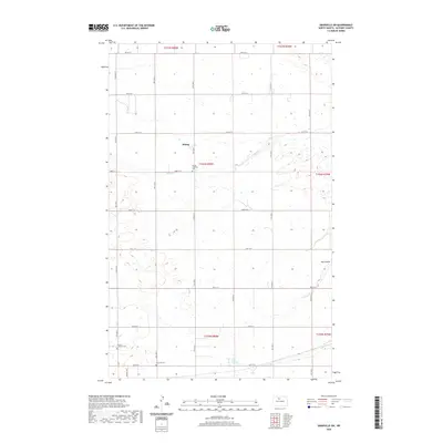
2020 Map of Granville SW
USGS Topo · Published 2020About this map
The small settlement of Rising serves as a quiet focal point in this section of McHenry County, where the plains are defined by a rhythmic grid of rural sections. This landscape, characterized by the winding path of Egg Cr and the natural drainage of Hay Coulee, preserves the early 20th-century footprint of the North Dakota prairie. The map provides significant genealogical value through its recorded burial sites, including the Rising Lutheran Cem, Norwich Lutheran Cem, and Rose Hill Cem. These landmarks, along with a network of section roads like Norwich Rd, illustrate a late-modern look at a region where land use remains deeply tied to agriculture and small-town community centers. The distribution of these cemeteries suggest the historical locations of early pioneer congregations and family homesteads that shaped the county.
Find a feature on this map
23 named features on this map. Tap any name to fly to it.
Don’t see what you’re looking for? This feature index may not catch every label — zoom into the map to look around manually.
Map Details
Editions of this 2020 Granville SW Map
This is the sole edition of this map. No revisions or reprints were ever made.
Other maps of this area
1929 · Sawyer
USGS Topo · 1:62,500
1948 · Velva
USGS Topo · 1:62,500
1949 · Norwich
USGS Topo · 1:24,000
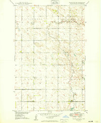
1949 · Granville NE
USGS Topo · 1:24,000
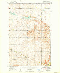
1949 · Simcoe
USGS Topo · 1:24,000
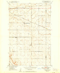
1949 · Sawyer NE
USGS Topo · 1:24,000
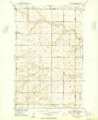
1949 · Deering SE
USGS Topo · 1:24,000
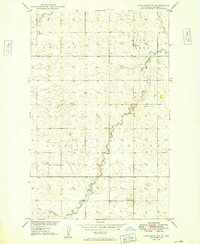
1949 · Granville NW
USGS Topo · 1:24,000
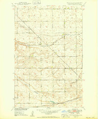
1949 · Granville SW
USGS Topo · 1:24,000
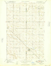
1949 · Deering
USGS Topo · 1:24,000