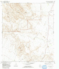
1971 Map of Grapevine Hills
USGS Topo · Published 1991About this map
Big Bend National Park defines the lower half of this landscape, where the Big Grapevine Hills and Avery Canyon rise from the desert floor. The geography is shaped by the drainage of Tornillo Creek and Cottonwood Draw, highlighting a region where water sources like Grapevine Spring and Neville Spring were critical for survival and early ranching efforts.
Find a feature on this map
25 named features on this map. Tap any name to fly to it.
Don’t see what you’re looking for? This feature index may not catch every label — zoom into the map to look around manually.
Map Details
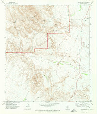
Editions of this 1971 Grapevine Hills Map
2 editions found
Other maps of this area

1903 · Chisos Mountains
USGS Topo · 1:125,000

1905 · Chisos Mountains
USGS Topo · 1:125,000

1917 · Bone Spring
USGS Topo · 1:62,500

1918 · Bone Spring
USGS Topo · 1:125,000

1918 · Bone Spring
USGS Topo · 1:62,500

1918 · Nine Point Mesa
USGS Topo · 1:62,500

1920 · Bone Spring
USGS Topo · 1:62,500

1937 · Nine Point Mesa
USGS Topo · 1:62,500

1959 · Emory Peak
USGS Topo · 1:250,000

1965 · Emory Peak
USGS Topo · 1:250,000