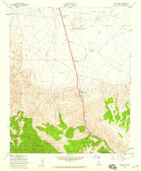
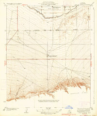
1958 Map of Grapevine
USGS Topo · Published 1959About this map
Tejon Oil Field dominates the northern plains of this Kern County landscape, where numerous oil wells and storage tanks reflect the mid-century industrial activity of the San Joaquin Valley floor. This 1958 revision shows the transition from the flat agricultural and oil-producing lowlands into the steep elevations of the Los Padres National Forest. Central to the area's history is the transportation corridor through Castaic Valley, marked by significant heritage sites including the Rose Stage Station Historical Marker and the Rose Station (Site). Further south, the map documents the Ft Tejon State Historical Mon and the Old Fort Tejon Historical Marker, preserving the legacy of this vital mountain pass. Strategic infrastructure like the Grapevine Peak Radio Relay Station and several pumping stations emphasize the pass's role as a critical utility and transit artery between northern and southern California.
Find a feature on this map
23 named features on this map. Tap any name to fly to it.
Don’t see what you’re looking for? This feature index may not catch every label — zoom into the map to look around manually.
Map Details
Editions of this 1958 Grapevine Map
3 editions found
Other maps of this area

1903 · Mt. Pinos
USGS Topo · 1:125,000

1903 · Tejon
USGS Topo · 1:125,000

1910 · Buena Vista Lake
USGS Topo · 1:125,000

1912 · Buena Vista Lake
USGS Topo · 1:125,000

1914 · Caliente
USGS Topo · 1:125,000

1931 · West of Tejon Hills
USGS Topo · 1:31,680

1931 · Tejon Hills
USGS Topo · 1:31,680

1933 · Tejon Hills
USGS Topo · 1:31,680
1934 · West of Tejon Hills
USGS Topo · 1:31,680
1934 · Coal Oil Canyon
USGS Topo · 1:31,680