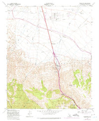
1958 Map of Grapevine
USGS Topo · Published 1975About this map
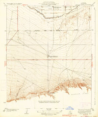
Tejon Oil Field dominates the northern flats of this landscape, where a dense network of oil wells and oil tanks marks the region's industrial activity. This survey captures the transition from the high ridges of the Los Padres National Forest down into the Castaic Valley. History is preserved at the southern end of the sheet within Fort Tejon State Historical Park, while the Rose Stage Station Historical Marker and the nearby Rose Station (Site) indicate the importance of this corridor for travel through the mountains. Water management infrastructure is a defining modern layer of the terrain, specifically the California Aqueduct cutting across the valley floor and several pumping stations situated along Grapevine Creek. The settlement of Grapevine serves as a central point where the rugged canyon topography meets the developed plains.
Find a feature on this map
29 named features on this map. Tap any name to fly to it.
Don’t see what you’re looking for? This feature index may not catch every label — zoom into the map to look around manually.
Map Details
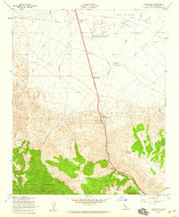
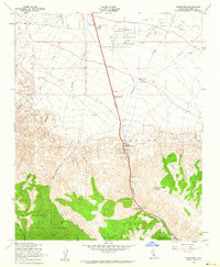
Editions of this 1958 Grapevine Map
3 editions found
Other maps of this area

1903 · Mt. Pinos
USGS Topo · 1:125,000

1903 · Tejon
USGS Topo · 1:125,000

1910 · Buena Vista Lake
USGS Topo · 1:125,000

1912 · Buena Vista Lake
USGS Topo · 1:125,000

1914 · Caliente
USGS Topo · 1:125,000

1931 · West of Tejon Hills
USGS Topo · 1:31,680

1931 · Tejon Hills
USGS Topo · 1:31,680

1933 · Tejon Hills
USGS Topo · 1:31,680
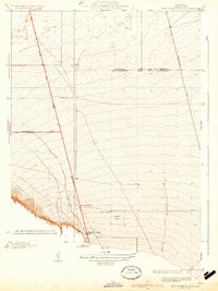
1934 · West of Tejon Hills
USGS Topo · 1:31,680
1934 · Coal Oil Canyon
USGS Topo · 1:31,680