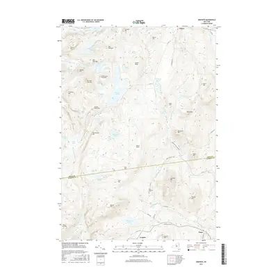
2016 Map of Graphite
USGS Topo · Published 2016About this map
Adirondack Park Preserve lands dominate this interior landscape, where the border of Essex and Warren Counties bisects a network of high peaks and secluded ponds. The settlement of Graphite sits south of May Memorial Cem, while Hague occupies the southeastern corner near the edge of Lake George's drainage. The terrain is defined by a dense concentration of summits including Thunderbolt Mtn, Trumbull Mtn, and the curiously named Grizzly Ocean Mtn. This area serves as a significant hydrologic hub where waters move through systems like Pharoah Lake, Putnam Pond, and Eagle Lake. The road network is limited to local connectors like CO Hwy 39 and New Hague Rd, reflecting a landscape where geography and conservation have dictated the slow pace of development into the 21st century.
Find a feature on this map
76 named features on this map. Tap any name to fly to it.
Don’t see what you’re looking for? This feature index may not catch every label — zoom into the map to look around manually.
Map Details
Editions of this 2016 Graphite Map
This is the sole edition of this map. No revisions or reprints were ever made.
Other maps of this area

1893 · Whitehall
USGS Topo · 1:62,500

1894 · Ticonderoga
USGS Topo · 1:62,500

1895 · Whitehall
USGS Topo · 1:62,500

1895 · Paradox Lake
USGS Topo · 1:62,500

1896 · Ticonderoga
USGS Topo · 1:62,500

1897 · Bolton
USGS Topo · 1:62,500

1897 · Paradox Lake
USGS Topo · 1:62,500

1898 · Whitehall
USGS Topo · 1:62,500

1900 · Bolton
USGS Topo · 1:62,500

1902 · Whitehall
USGS Topo · 1:62,500