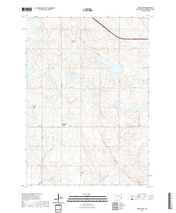
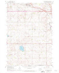
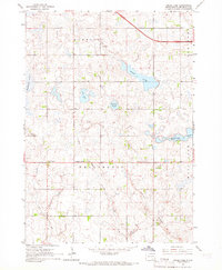
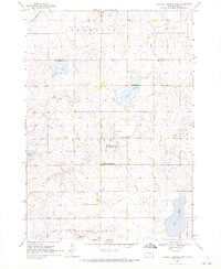
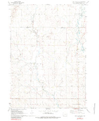
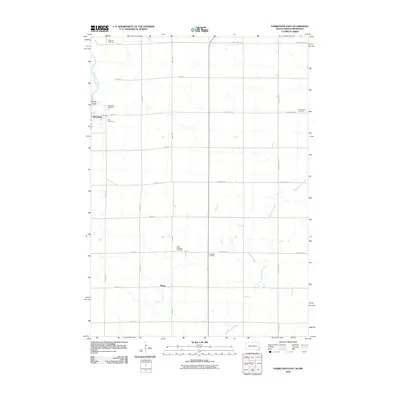
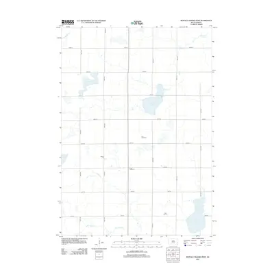
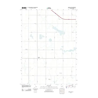
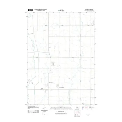
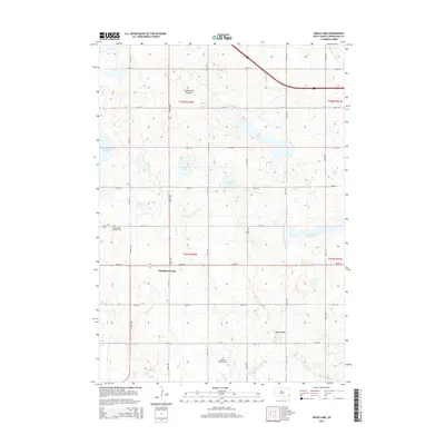
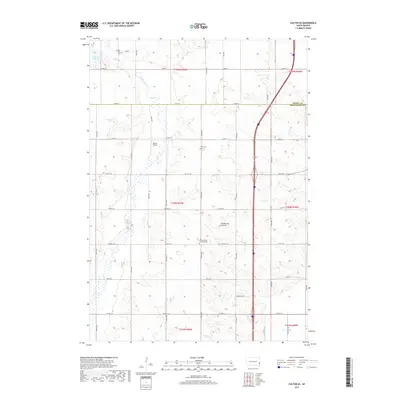
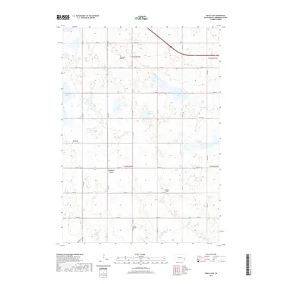
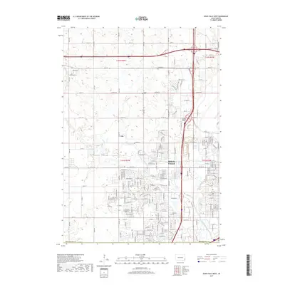
2021 Map of Grass Lake
USGS Topo · Published 2021About this map
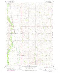
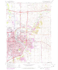
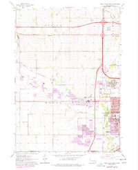
Coteau des Prairies, a vast plateau of glacial origin, defines the topography of this section of Minnehaha County. The landscape is dotted with prominent wetlands and prairie basins including Grass Lake, Lost Lake, and Rehfeldt Slough. These natural features are interspersed with a strictly gridded section-line road system, typical of the Great Plains survey, which dictates the placement of rural infrastructure.
Find a feature on this map
32 named features on this map. Tap any name to fly to it.
Don’t see what you’re looking for? This feature index may not catch every label — zoom into the map to look around manually.
Map Details
Editions of this 2021 Grass Lake Map
This is the sole edition of this map. No revisions or reprints were ever made.
Historical Maps of Humboldt Township Through Time
55 maps found
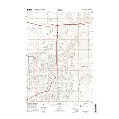
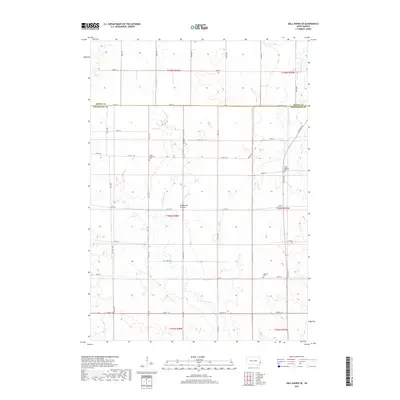
1962 Colton SE
Minnehaha County, SD
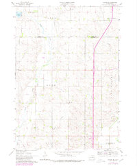
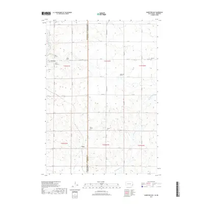
1962 Garretson West
Minnehaha County, SD
1962 Hartford North
Minnehaha County, SD
1962 Hartford South
Minnehaha County, SD
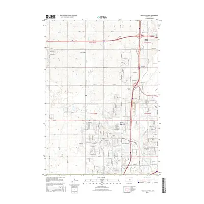
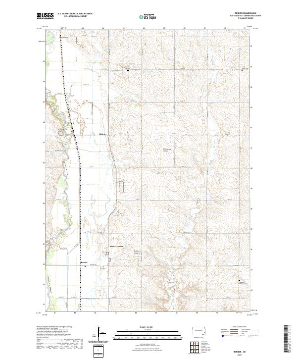
1962 Renner
Minnehaha County, SD
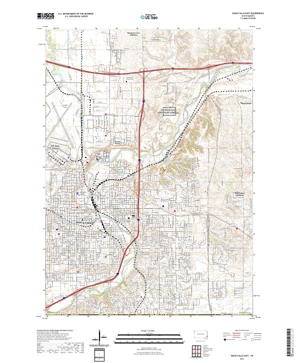
1962 Sioux Falls East
Minnehaha County, SD
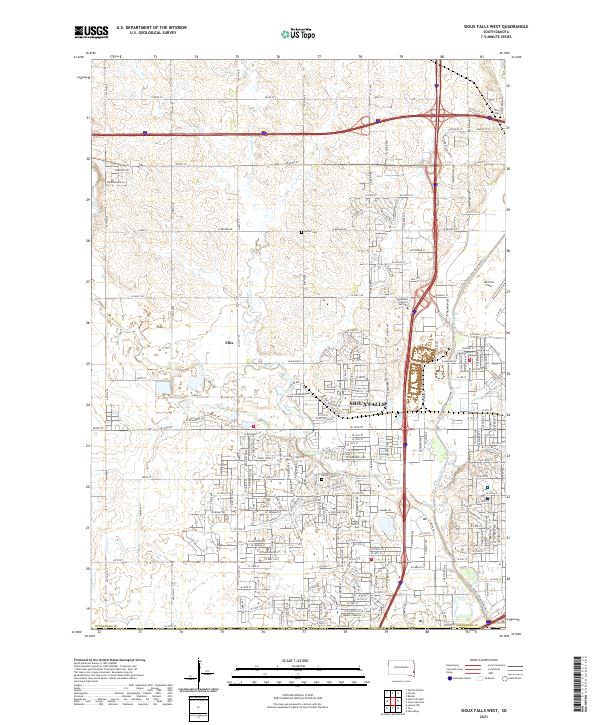
1962 Sioux Falls West
Minnehaha County, SD
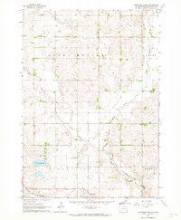
1964 Grass Lake
Minnehaha County, SD
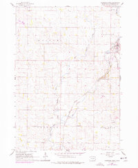
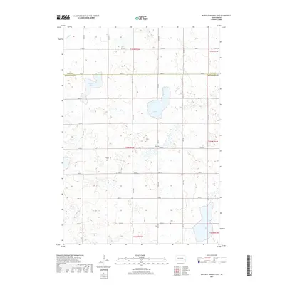
1968 Buffalo Trading Post
Minnehaha County, SD
1972 Dell Rapids SE
Minnehaha County, SD
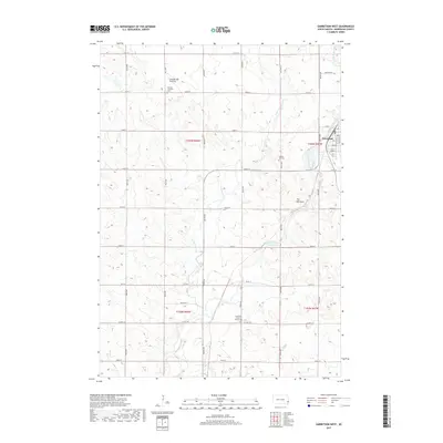
2010 Garretson East
Minnehaha County, SD
2012 Buffalo Trading Post
Minnehaha County, SD
2012 Colton SE
Minnehaha County, SD
2012 Dell Rapids SE
Minnehaha County, SD
2012 Garretson East
Minnehaha County, SD
2012 Garretson West
Minnehaha County, SD
2012 Grass Lake
Minnehaha County, SD
2012 Hartford North
Minnehaha County, SD
2012 Hartford South
Minnehaha County, SD
2012 Renner
Minnehaha County, SD
2012 Sioux Falls East
Minnehaha County, SD
2012 Sioux Falls West
Minnehaha County, SD
2015 Buffalo Trading Post
Minnehaha County, SD
2015 Colton SE
Minnehaha County, SD
2015 Dell Rapids SE
Minnehaha County, SD
2015 Garretson East
Minnehaha County, SD
2015 Garretson West
Minnehaha County, SD
2015 Grass Lake
Minnehaha County, SD
2015 Hartford North
Minnehaha County, SD
2015 Hartford South
Minnehaha County, SD
2015 Renner
Minnehaha County, SD
2015 Sioux Falls East
Minnehaha County, SD
2015 Sioux Falls West
Minnehaha County, SD
2017 Buffalo Trading Post
Minnehaha County, SD
2017 Colton SE
Minnehaha County, SD
2017 Dell Rapids SE
Minnehaha County, SD
2017 Garretson East
Minnehaha County, SD
2017 Garretson West
Minnehaha County, SD
2017 Grass Lake
Minnehaha County, SD
2017 Hartford North
Minnehaha County, SD
2017 Hartford South
Minnehaha County, SD
2017 Renner
Minnehaha County, SD
2017 Sioux Falls East
Minnehaha County, SD
2017 Sioux Falls West
Minnehaha County, SD
2021 Buffalo Trading Post
Minnehaha County, SD
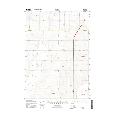
2021 Colton SE
Minnehaha County, SD
2021 Dell Rapids SE
Minnehaha County, SD
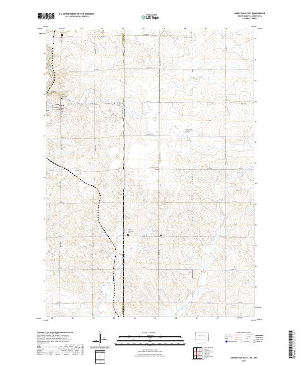
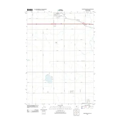
2021 Garretson East
Minnehaha County, SD
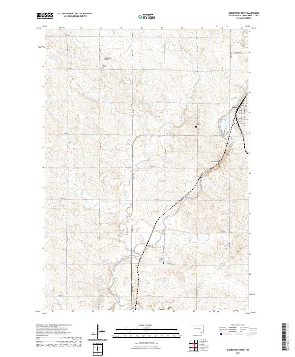
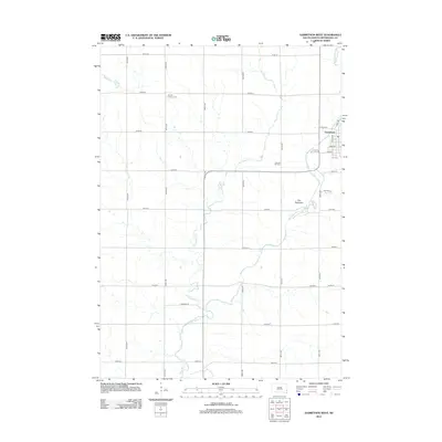
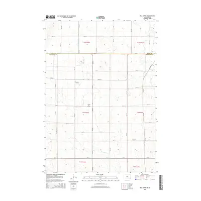
2021 Garretson West
Minnehaha County, SD
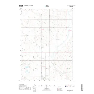
2021 Grass Lake
Minnehaha County, SD
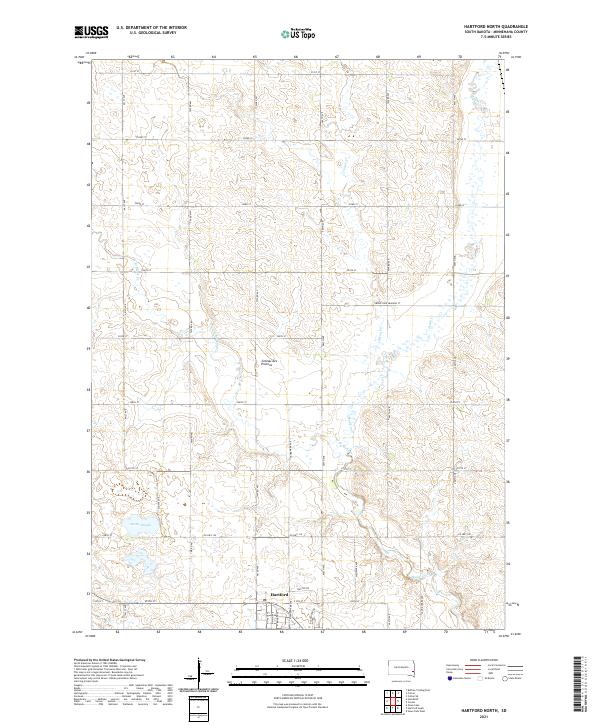
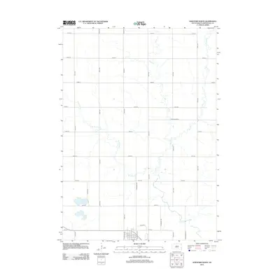
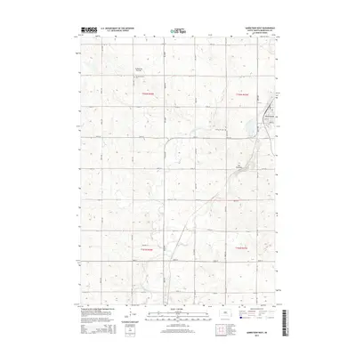
2021 Hartford North
Minnehaha County, SD
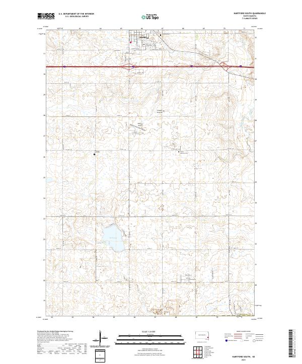
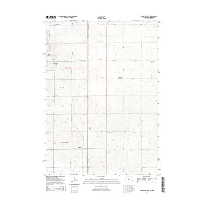
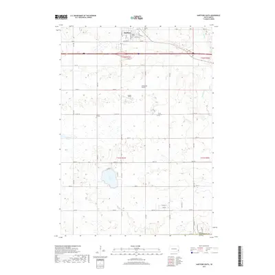
2021 Hartford South
Minnehaha County, SD
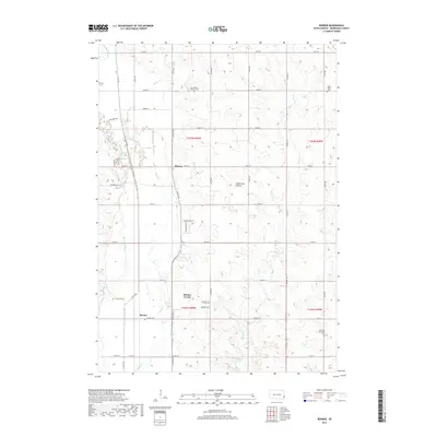
2021 Renner
Minnehaha County, SD
2021 Sioux Falls East
Minnehaha County, SD
2021 Sioux Falls West
Minnehaha County, SD
Featured Locations
- Wall Lake Township, SD
- Wellington Township, SD
- Hartford Township, SD
- Humboldt Township, SD
- Pumpkin Center, Wellington Township