
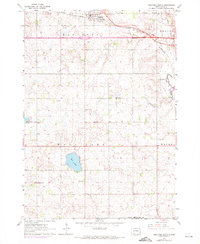
1962 Map of Hartford South
USGS Topo · Published 1964About this map
Hartford serves as the primary hub in this early 1960s survey of the South Dakota prairie, where the Chicago and North Western railroad bisects the landscape. The region is defined by a dense network of country schools, including Johnson Sch, Gregg Sch, and Liberty Sch, which are distributed at regular intervals across the townships of Benton, Wall Lake, and Wayne. This pattern reflects a mid-century rural society still deeply connected to local township centers before the widespread consolidation of school districts.
Find a feature on this map
26 named features on this map. Tap any name to fly to it.
Don’t see what you’re looking for? This feature index may not catch every label — zoom into the map to look around manually.
Map Details
Editions of this 1962 Hartford South Map
2 editions found
Other maps of this area

1897 · Canton
USGS Topo · 1:125,000

1898 · Parker
USGS Topo · 1:125,000

1900 · Canton
USGS Topo · 1:125,000

1955 · Sioux Falls
USGS Topo · 1:250,000

1958 · Sioux Falls
USGS Topo · 1:250,000

1962 · Tea
USGS Topo · 1:24,000

1962 · Lennox NW
USGS Topo · 1:24,000

1962 · Hartford North
USGS Topo · 1:24,000

1962 · Sioux Falls West
USGS Topo · 1:24,000

1962 · Crooks
USGS Topo · 1:24,000