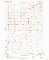
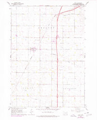
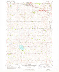
1962 Map of Tea
USGS Topo · Published 1964About this map
The settlement of Tea and the surrounding agricultural landscape of Lincoln County are captured here in the early 1960s, a period before the expansion of the nearby regional hub significantly altered the rural character of the plains. The Great Northern railroad cuts through the terrain, serving as the primary transport artery connecting this farming community. This map is particularly valuable for genealogists, as it identifies numerous rural schoolhouses that served local families, including Dewey Sch, Prairie View Sch, Rader Sch, and Bedford Sch.
Find a feature on this map
13 named features on this map. Tap any name to fly to it.
Don’t see what you’re looking for? This feature index may not catch every label — zoom into the map to look around manually.
Map Details
Editions of this 1962 Tea Map
2 editions found
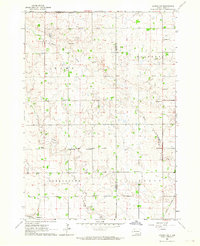
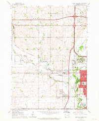
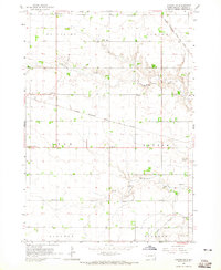
Other maps of this area

1897 · Canton
USGS Topo · 1:125,000

1900 · Canton
USGS Topo · 1:125,000

1955 · Sioux Falls
USGS Topo · 1:250,000

1958 · Sioux Falls
USGS Topo · 1:250,000
1962 · Harrisburg
USGS Topo · 1:24,000
1962 · Sioux Falls East
USGS Topo · 1:24,000
1962 · Hartford South
USGS Topo · 1:24,000
1962 · Lennox NW
USGS Topo · 1:24,000
1962 · Sioux Falls West
USGS Topo · 1:24,000
1964 · Canton SW
USGS Topo · 1:24,000