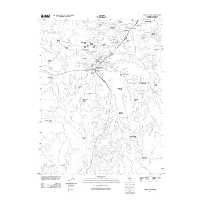
2012 Map of Grass Valley
USGS Topo · Published 2012About this map
Grass Valley and Nevada City anchor this topographic study, revealing a landscape deeply marked by its gold-mining heritage and complex water infrastructure. The historic district of Boston Ravine and the prominent Gold Hill site stand as reminders of the region's extractive past, while a dense network of gravity-fed water systems, including the Upper Rough and Ready Ditch and Allison Ranch Ditch, lace through the terrain to support both industry and residential growth. Genealogists will find several significant burial grounds documented, such as Greenwood Memorial Cem and Elm Ridge Cem. The transition from old mining flats like Scadden Flat to mid-century residential developments such as Leduc Acres and Starbright Acres illustrates the area's evolution from a hard-rock mining center into a residential hub within the Sierra Nevada foothills.
Find a feature on this map
88 named features on this map. Tap any name to fly to it.
Don’t see what you’re looking for? This feature index may not catch every label — zoom into the map to look around manually.
Map Details
Editions of this 2012 Grass Valley Map
This is the sole edition of this map. No revisions or reprints were ever made.
Other maps of this area

1888 · Smartsville
USGS Topo · 1:125,000

1891 · Colfax
USGS Topo · 1:125,000

1891 · Smartsville
USGS Topo · 1:125,000

1892 · Smartsville
USGS Topo · 1:125,000

1892 · Colfax
USGS Topo · 1:125,000

1894 · Colfax
USGS Topo · 1:125,000

1894 · Smartsville
USGS Topo · 1:125,000

1895 · Smartsville
USGS Topo · 1:125,000

1898 · Colfax
USGS Topo · 1:125,000

1900 · Colfax
USGS Topo · 1:125,000