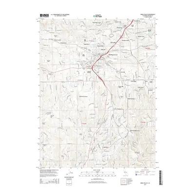
2015 Map of Grass Valley
USGS Topo · Published 2015About this map
Grass Valley and Nevada City anchor this 2015 survey of the Sierra Nevada foothills, revealing a landscape deeply marked by its mining heritage and complex water management. The legacy of the Gold Rush is tangible in the presence of the Empire Mine and numerous historic cemeteries, including Greenwood Memorial Cemetery and the Saint Patricks Cemetery. Small residential clusters like Town Talk, Boston Ravine, and Glenbrook fill the gaps between the two primary towns, while family-named summits such as Alta Hill and Granite Hill define the local topography. An intricate network of water infrastructure, including the Lafayette Ditch, Allison Ranch Ditch, and Chicago Park Ditch, winds through the terrain, illustrating the historical necessity of diverting water for both mining operations and agriculture in this California gold country.
Find a feature on this map
235 named features on this map. Tap any name to fly to it.
Don’t see what you’re looking for? This feature index may not catch every label — zoom into the map to look around manually.
Map Details
Editions of this 2015 Grass Valley Map
This is the sole edition of this map. No revisions or reprints were ever made.
Other maps of this area

1888 · Smartsville
USGS Topo · 1:125,000

1891 · Colfax
USGS Topo · 1:125,000

1891 · Smartsville
USGS Topo · 1:125,000

1892 · Smartsville
USGS Topo · 1:125,000

1892 · Colfax
USGS Topo · 1:125,000

1894 · Colfax
USGS Topo · 1:125,000

1894 · Smartsville
USGS Topo · 1:125,000

1895 · Smartsville
USGS Topo · 1:125,000

1898 · Colfax
USGS Topo · 1:125,000

1900 · Colfax
USGS Topo · 1:125,000