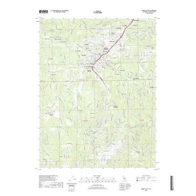
2018 Map of Grass Valley
USGS Topo · Published 2018About this map
The historic mining centers of Grass Valley and Nevada City dominate this detailed survey, showing a landscape where gold-rush era settlement patterns have evolved into a modern regional hub. The map provides excellent detail for genealogists, particularly through the mapping of the Old Saint Patrick's Catholic Cem and the newer Greenwood Memorial Cem. The intricate network of historic water systems, including the Lafayette Ditch and the Allison-Ranch Ditch, illustrates the enduring legacy of 19th-century hydraulic infrastructure in the foothills.
Find a feature on this map
107 named features on this map. Tap any name to fly to it.
Don’t see what you’re looking for? This feature index may not catch every label — zoom into the map to look around manually.
Map Details
Editions of this 2018 Grass Valley Map
This is the sole edition of this map. No revisions or reprints were ever made.
Other maps of this area

1888 · Smartsville
USGS Topo · 1:125,000

1891 · Colfax
USGS Topo · 1:125,000

1891 · Smartsville
USGS Topo · 1:125,000

1892 · Smartsville
USGS Topo · 1:125,000

1892 · Colfax
USGS Topo · 1:125,000
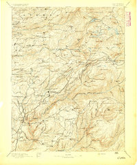
1894 · Colfax
USGS Topo · 1:125,000
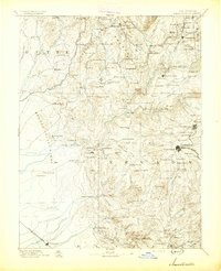
1894 · Smartsville
USGS Topo · 1:125,000
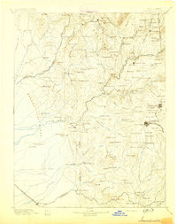
1895 · Smartsville
USGS Topo · 1:125,000
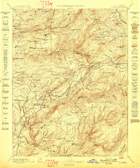
1898 · Colfax
USGS Topo · 1:125,000
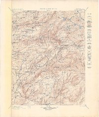
1900 · Colfax
USGS Topo · 1:125,000