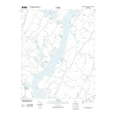
2010 Map of Grasshopper Creek
USGS Topo · Published 2010About this map
Chickamauga Lake dominates the center of this Tennessee landscape, reflecting the modern geography of the Tennessee River valley in Hamilton County. The map details a transition from the water's edge to the high ground of Dividing Ridge and Murphy Hill. Numerous inlets and branches, such as Possum Creek and Eldridge Branch, create a complex shoreline that supports recreational and nautical facilities like Midway Marina and the Shady Grove Boat Harbor.
Find a feature on this map
106 named features on this map. Tap any name to fly to it.
Don’t see what you’re looking for? This feature index may not catch every label — zoom into the map to look around manually.
Map Details
Editions of this 2010 Grasshopper Creek Map
This is the sole edition of this map. No revisions or reprints were ever made.
Other maps of this area

1886 · Cleveland
USGS Topo · 1:125,000

1888 · Chattanooga
USGS Topo · 1:125,000

1892 · Cleveland
USGS Topo · 1:125,000

1893 · Chattanooga
USGS Topo · 1:125,000

1895 · Cleveland
USGS Topo · 1:125,000

1901 · Cleveland
USGS Topo · 1:125,000

1935 · Daisy
USGS Topo · 1:24,000

1935 · Soddy
USGS Topo · 1:24,000

1935 · Snow Hill
USGS Topo · 1:24,000

1935 · Brayton
USGS Topo · 1:24,000