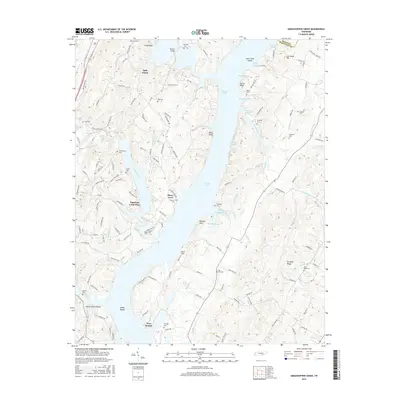
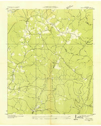
2016 Map of Grasshopper Creek
USGS Topo · Published 2016About this map
Sale Creek and the expansive waters of Dallas Lake define this Hamilton County landscape in 2016. The map reveals a complex network of inlets and sloughs, including Waddell Slough and Johnson Slough, which break up the rising terrain of Hobo Bluff and Dividing Ridge. Residential pockets such as Shore Acres and Opossum Creek Pines sit along the shoreline, illustrating the transition of the riverfront from a purely agricultural and transport-oriented corridor into a settled recreational area.
Find a feature on this map
132 named features on this map. Tap any name to fly to it.
Don’t see what you’re looking for? This feature index may not catch every label — zoom into the map to look around manually.
Map Details
Editions of this 2016 Grasshopper Creek Map
This is the sole edition of this map. No revisions or reprints were ever made.
Other maps of this area

1886 · Cleveland
USGS Topo · 1:125,000

1888 · Chattanooga
USGS Topo · 1:125,000

1892 · Cleveland
USGS Topo · 1:125,000

1893 · Chattanooga
USGS Topo · 1:125,000

1895 · Cleveland
USGS Topo · 1:125,000

1901 · Cleveland
USGS Topo · 1:125,000
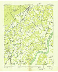
1935 · Daisy
USGS Topo · 1:24,000
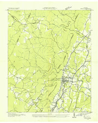
1935 · Soddy
USGS Topo · 1:24,000
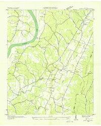
1935 · Snow Hill
USGS Topo · 1:24,000
1935 · Brayton
USGS Topo · 1:24,000