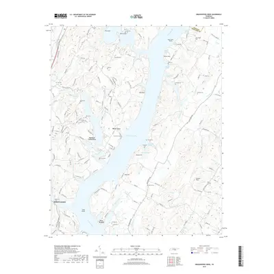
2019 Map of Grasshopper Creek
USGS Topo · Published 2019About this map
The Tennessee River corridor in Hamilton Co is dominated by the sprawling waters of Chickamauga Lake, creating a complex landscape of sloughs and inlets. Residential pockets such as Shore Acres and Opossum Creek Pines sit along the waterfront, while the larger community of Soddy-Daisy occupies the southwestern corner. The terrain rises sharply from the riverbanks toward Dividing Ridge and various named heights like Murphy Hill and Joe Smith Hill.
Find a feature on this map
144 named features on this map. Tap any name to fly to it.
Don’t see what you’re looking for? This feature index may not catch every label — zoom into the map to look around manually.
Map Details
Editions of this 2019 Grasshopper Creek Map
This is the sole edition of this map. No revisions or reprints were ever made.
Other maps of this area

1886 · Cleveland
USGS Topo · 1:125,000

1888 · Chattanooga
USGS Topo · 1:125,000

1892 · Cleveland
USGS Topo · 1:125,000

1893 · Chattanooga
USGS Topo · 1:125,000

1895 · Cleveland
USGS Topo · 1:125,000

1901 · Cleveland
USGS Topo · 1:125,000

1935 · Daisy
USGS Topo · 1:24,000

1935 · Soddy
USGS Topo · 1:24,000

1935 · Snow Hill
USGS Topo · 1:24,000

1935 · Brayton
USGS Topo · 1:24,000