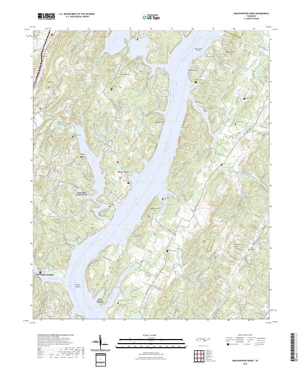
2022 Map of Grasshopper Creek
USGS Topo · Published 2022About this map
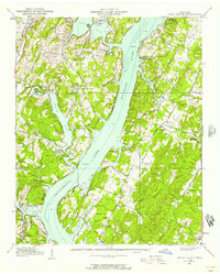
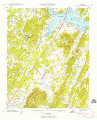
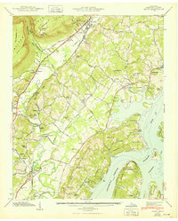
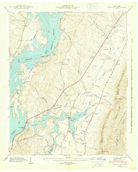
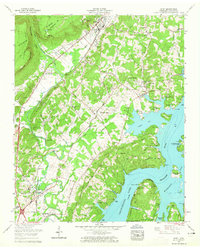
The Tennessee River dominates this landscape north of Soddy-Daisy, carving a complex network of sloughs and prongs that define the local geography. Significant water features such as Sale Creek Shoals, Smith Slough, and Dallas Lake are flanked by prominent elevations like Parker Bluff and Hobo Bluff. This riverine environment facilitated a settlement pattern of small communities and residential developments including Shore Acres, Price Point, and Opossum Creek Pines.
Find a feature on this map
157 named features on this map. Tap any name to fly to it.
Don’t see what you’re looking for? This feature index may not catch every label — zoom into the map to look around manually.
Map Details
Editions of this 2022 Grasshopper Creek Map
This is the sole edition of this map. No revisions or reprints were ever made.
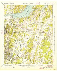
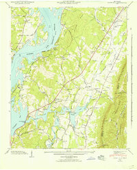
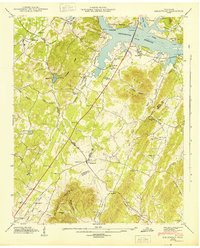
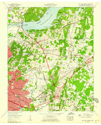
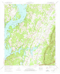
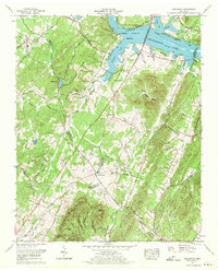
Historical Maps of Opossum Creek Pines Through Time
31 maps found
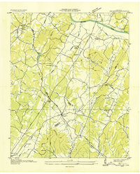
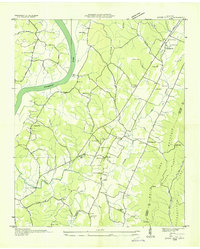
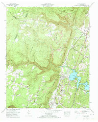
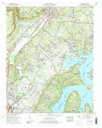
1935 Birchwood
Hamilton County, TN
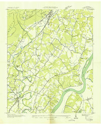
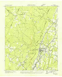
1935 Daisy
Hamilton County, TN
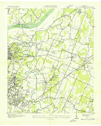
1935 East Chattanooga
Hamilton County, TN
1935 Snow Hill
Hamilton County, TN
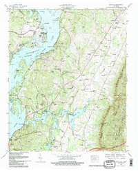
1935 Soddy
Hamilton County, TN
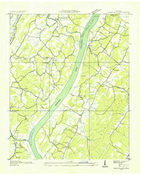
1935 Soddy Island
Hamilton County, TN
1939 Soddy Island
Hamilton County, TN
1942 Birchwood
Hamilton County, TN
1942 East Chattanooga
Hamilton County, TN
1942 Snow Hill
Hamilton County, TN
1943 Birchwood
Hamilton County, TN
1943 Daisy
Hamilton County, TN
1943 Snow Hill
Hamilton County, TN
1946 Soddy
Hamilton County, TN
1947 Soddy
Hamilton County, TN
1958 Daisy
Hamilton County, TN
1958 East Chattanooga
Hamilton County, TN
1964 Snow Hill
Hamilton County, TN
1967 Birchwood
Hamilton County, TN
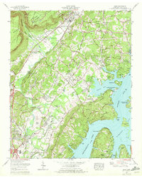
1969 Daisy
Hamilton County, TN
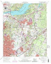
1969 East Chattanooga
Hamilton County, TN
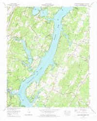
1972 Grasshopper Creek
Hamilton County, TN
1972 Soddy
Hamilton County, TN
1976 Daisy
Hamilton County, TN
1980 Snow Hill
Hamilton County, TN
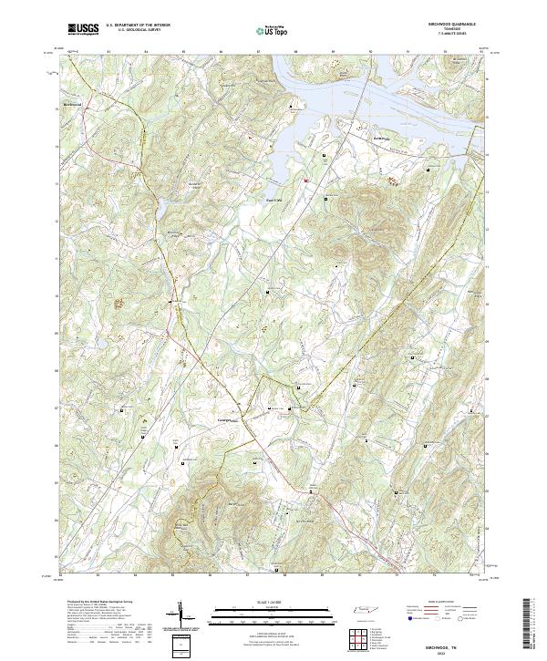
2022 Birchwood
Hamilton County, TN
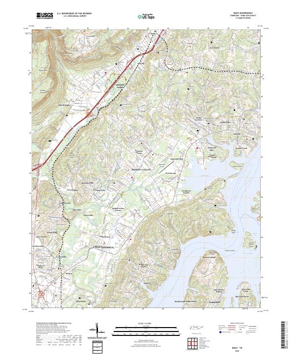
2022 Daisy
Hamilton County, TN
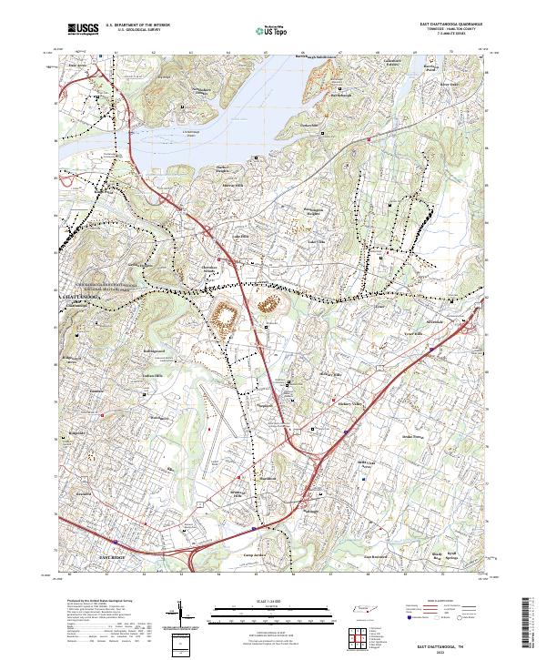
2022 East Chattanooga
Hamilton County, TN
2022 Grasshopper Creek
Hamilton County, TN
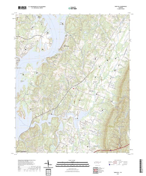
2022 Snow Hill
Hamilton County, TN
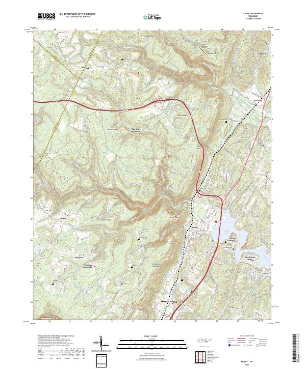
2022 Soddy
Hamilton County, TN