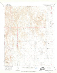
1967 Map of Grasshopper Junction SE
USGS Topo · Published 1968About this map
Sacramento Valley dominates the eastern half of this arid landscape, where the wide Sacramento Wash carves a path through the desert floor. In the late 1960s, human presence was defined by isolated outposts like the HJH Ranch and a network of Jeep Trails connecting scarce water sources. The survival of such ranching operations relied heavily on the scattered springs tucked into the higher elevations to the west, including Mud Spring, Cottonwood Spring, and Thorne Spring. The map reveals a transition from the broad alluvial plains of Glen Canyon to the more broken, upland terrain where several Water Tanks were maintained. Traces of historical exploration appear in the form of a lone Prospect label near the valley edge, suggesting the early mining interests that frequently spurred the development of desert routes like Hermit Road and Estrella Road.
Find a feature on this map
18 named features on this map. Tap any name to fly to it.
Don’t see what you’re looking for? This feature index may not catch every label — zoom into the map to look around manually.
Map Details
Editions of this 1967 Grasshopper Junction SE Map
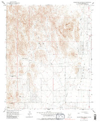
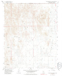
Other maps of this area

1886 · Camp Mohave
USGS Topo · 1:250,000

1892 · Camp Mohave
USGS Topo · 1:250,000

1939 · Chloride
USGS Topo · 1:48,000

1942 · Camp Mohave
USGS Topo · 1:250,000

1944 · Chloride
USGS Topo · 1:62,500

1947 · Kingman
USGS Topo · 1:250,000

1948 · Kingman
USGS Topo · 1:250,000

1954 · Kingman
USGS Topo · 1:250,000

1955 · Kingman
USGS Topo · 1:250,000

1958 · Kingman
USGS Topo · 1:250,000