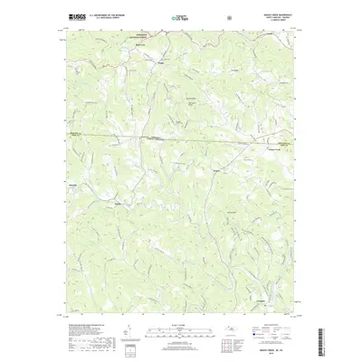
2019 Map of Grassy Creek
USGS Topo · Published 2019About this map
The North Fork New River winds through the southern portion of this landscape, anchoring the community of Crumpler where the water turns north toward the state line. This borderland region is defined by the high ridges of the Appalachian mountains, including Helton Knob and Blackburn Knob, which separate the various creek valleys. Numerous small settlements such as Helton, Grassy Creek, and Rugby are connected by a winding network of country roads like Rooster Ridge Rd and Wade-Duvall Rd.
Find a feature on this map
121 named features on this map. Tap any name to fly to it.
Don’t see what you’re looking for? This feature index may not catch every label — zoom into the map to look around manually.
Map Details
Editions of this 2019 Grassy Creek Map
This is the sole edition of this map. No revisions or reprints were ever made.
Other maps of this area

1889 · Wytheville
USGS Topo · 1:125,000

1889 · Wilkesboro
USGS Topo · 1:125,000

1891 · Abingdon
USGS Topo · 1:125,000

1891 · Wilkesboro
USGS Topo · 1:125,000

1892 · Wytheville
USGS Topo · 1:125,000

1893 · Cranberry
USGS Topo · 1:125,000

1894 · Abingdon
USGS Topo · 1:125,000

1895 · Cranberry
USGS Topo · 1:125,000

1899 · Cranberry
USGS Topo · 1:125,000

1902 · Cranberry
USGS Topo · 1:125,000