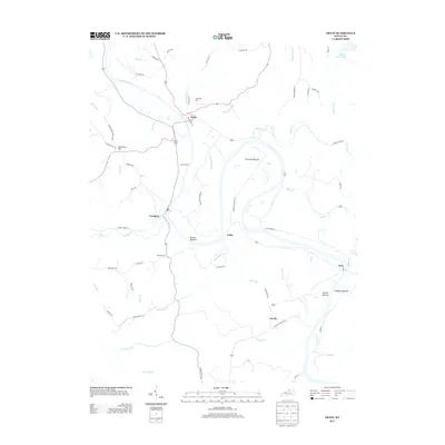
2013 Map of Gratz
USGS Topo · Published 2013About this map
The Kentucky River winds through this river-and-road landscape, defining the character of several small communities and low-lying bottomlands. Small settlements such as Gratz, Lockport, and Gest are positioned near the water, reflecting a long-standing reliance on the river for transport and topography. These towns are connected by a network of secondary roads like River Front St and Old Landing Rd, which hint at historical docking points and early travel patterns along the banks.
Find a feature on this map
67 named features on this map. Tap any name to fly to it.
Don’t see what you’re looking for? This feature index may not catch every label — zoom into the map to look around manually.
Map Details
Editions of this 2013 Gratz Map
This is the sole edition of this map. No revisions or reprints were ever made.
Other maps of this area

1906 · Lockport
USGS Topo · 1:48,000

1908 · Lockport
USGS Topo · 1:62,500

1928 · New Castle
USGS Topo · 1:48,000

1932 · New Castle
USGS Topo · 1:62,500

1950 · New Liberty
USGS Topo · 1:24,000

1950 · Owenton
USGS Topo · 1:24,000

1952 · Worthville
USGS Topo · 1:24,000

1953 · Monterey
USGS Topo · 1:24,000

1953 · Gratz
USGS Topo · 1:24,000

1953 · Polsgrove
USGS Topo · 1:24,000