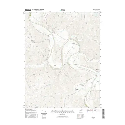
2016 Map of Gratz
USGS Topo · Published 2016About this map
The Kentucky River carves a deep, winding path through this portion of Owen and Henry Counties, creating a landscape of sharp ridges and fertile river flats. Small riverside settlements like Gratz, Lockport, and Monterey are linked by winding roads such as Lead Mine Rd and Harpers Ferry Rd, reflecting a geography heavily dictated by the water. Along the river’s loops, expansive floodplains known as bottoms, including Clements Bottom and Browns Bottom, provided essential agricultural land amidst the steep topography.
Find a feature on this map
65 named features on this map. Tap any name to fly to it.
Don’t see what you’re looking for? This feature index may not catch every label — zoom into the map to look around manually.
Map Details
Editions of this 2016 Gratz Map
This is the sole edition of this map. No revisions or reprints were ever made.
Other maps of this area
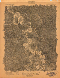
1906 · Lockport
USGS Topo · 1:48,000
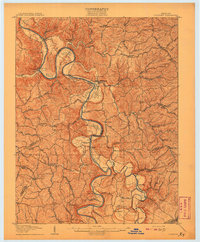
1908 · Lockport
USGS Topo · 1:62,500
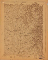
1928 · New Castle
USGS Topo · 1:48,000
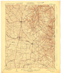
1932 · New Castle
USGS Topo · 1:62,500
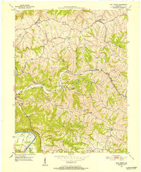
1950 · New Liberty
USGS Topo · 1:24,000
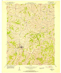
1950 · Owenton
USGS Topo · 1:24,000
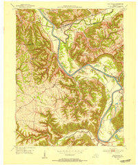
1952 · Worthville
USGS Topo · 1:24,000
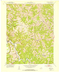
1953 · Monterey
USGS Topo · 1:24,000
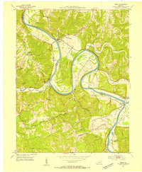
1953 · Gratz
USGS Topo · 1:24,000
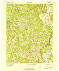
1953 · Polsgrove
USGS Topo · 1:24,000