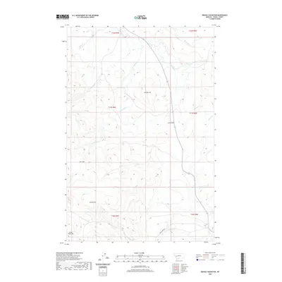
2020 Map of Gravely Mountain
USGS Topo · Published 2020About this map
Gravely Mtn and White Rocks Mtn anchor the high country in this Powell County survey, where the rugged topography of the Continental Divide region is meticulously documented. The landscape is defined by the broad Avon Valley to the east and the high-elevation basin of Deer Park to the west. This territory is heavily dissected by drainage networks, most notably Strickland Cr, which flows centrally toward the valley floor near Antelope Hill. Transport through this remote Montana terrain is primarily limited to the southern corridor following Gimlet Creek Rd along Gimlet Cr. The map provides a clear record of the Public Land Survey System grid across these peaks, showing the intersection of townships T11N and T10N as they transition from the valley floor into the steep forested slopes of the Little Blackfoot River watershed.
Find a feature on this map
19 named features on this map. Tap any name to fly to it.
Don’t see what you’re looking for? This feature index may not catch every label — zoom into the map to look around manually.
Map Details
Editions of this 2020 Gravely Mountain Map
This is the sole edition of this map. No revisions or reprints were ever made.
Other maps of this area

1889 · Helena
USGS Topo · 1:250,000

1893 · Helena
USGS Topo · 1:250,000

1899 · Helena
USGS Topo · 1:250,000

1903 · Helena
USGS Topo · 1:250,000

1947 · Butte
USGS Topo · 1:250,000

1958 · Butte
USGS Topo · 1:250,000

1958 · Avon
USGS Topo · 1:62,500

1958 · Garrison
USGS Topo · 1:62,500

1960 · Butte
USGS Topo · 1:250,000

1962 · Butte
USGS Topo · 1:250,000