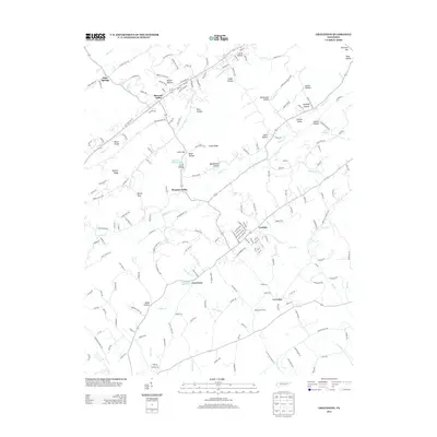
2013 Map of Graveston
USGS Topo · Published 2013About this map
Corryton and the surrounding valley floor are defined by a complex network of ridges and narrow hollows characteristic of East Tennessee. The drainage system is anchored by Bullrun Cr, which receives flow from N Fork Bullrun Cr and various branches like Dryland Br and Bradley Br. The landscape is dotted with named hollows that likely reflect ancestral landholdings, such as Beeler Hollow, Mendenhall Hollow, and Arick Hollow.
Find a feature on this map
192 named features on this map. Tap any name to fly to it.
Don’t see what you’re looking for? This feature index may not catch every label — zoom into the map to look around manually.
Map Details
Editions of this 2013 Graveston Map
This is the sole edition of this map. No revisions or reprints were ever made.
Other maps of this area

1897 · Maynardville
USGS Topo · 1:125,000

1900 · Maynardville
USGS Topo · 1:125,000

1935 · Luttrell
USGS Topo · 1:24,000

1935 · Mascot
USGS Topo · 1:24,000

1935 · Straw Plains
USGS Topo · 1:48,000

1935 · Graveston
USGS Topo · 1:24,000

1935 · Fountain City
USGS Topo · 1:24,000

1936 · Gorryton
USGS Topo · 1:48,000

1936 · Powder Springs
USGS Topo · 1:24,000

1936 · White Hollow
USGS Topo · 1:24,000