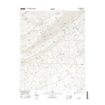
2016 Map of Graveston
USGS Topo · Published 2016About this map
Maynardville and the surrounding rural landscape of Union and Knox Counties are defined by a series of prominent southwest-to-northeast trending ridges and valleys. The map illustrates a deeply etched topography where settlements like Corryton and Graveston occupy the lower ground between Copper Ridge and Hinds Ridge. Water management and local industry are evidenced by the Graveston Mill Pond and the branching systems of Bullrun Cr and Little Flat Cr that drain the numerous hollows.
Find a feature on this map
146 named features on this map. Tap any name to fly to it.
Don’t see what you’re looking for? This feature index may not catch every label — zoom into the map to look around manually.
Map Details
Editions of this 2016 Graveston Map
This is the sole edition of this map. No revisions or reprints were ever made.
Other maps of this area

1897 · Maynardville
USGS Topo · 1:125,000

1900 · Maynardville
USGS Topo · 1:125,000

1935 · Luttrell
USGS Topo · 1:24,000

1935 · Mascot
USGS Topo · 1:24,000

1935 · Straw Plains
USGS Topo · 1:48,000

1935 · Graveston
USGS Topo · 1:24,000

1935 · Fountain City
USGS Topo · 1:24,000

1936 · Gorryton
USGS Topo · 1:48,000

1936 · Powder Springs
USGS Topo · 1:24,000

1936 · White Hollow
USGS Topo · 1:24,000