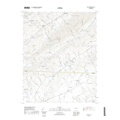
2019 Map of Graveston
USGS Topo · Published 2019About this map
Maynardville and the surrounding valleys of the Ridge-and-Valley Appalachians are defined by a rhythmic sequence of ridges including Copper Ridge, Buffalo Ridge, and Pine Ridge. The landscape is a network of small settlements and family-named hollows, where water features like Bullrun Cr and Little Flat Cr dictate the layout of rural roads and historical property lines. In the southern portion of the quadrangle, the Union Co and Knox Co boundary crosses through Graveston, an area marked by the Graveston Mill Pond and Wood Hollow.
Find a feature on this map
172 named features on this map. Tap any name to fly to it.
Don’t see what you’re looking for? This feature index may not catch every label — zoom into the map to look around manually.
Map Details
Editions of this 2019 Graveston Map
This is the sole edition of this map. No revisions or reprints were ever made.
Other maps of this area

1897 · Maynardville
USGS Topo · 1:125,000

1900 · Maynardville
USGS Topo · 1:125,000

1935 · Luttrell
USGS Topo · 1:24,000

1935 · Mascot
USGS Topo · 1:24,000

1935 · Straw Plains
USGS Topo · 1:48,000

1935 · Graveston
USGS Topo · 1:24,000

1935 · Fountain City
USGS Topo · 1:24,000

1936 · Gorryton
USGS Topo · 1:48,000

1936 · Powder Springs
USGS Topo · 1:24,000

1936 · White Hollow
USGS Topo · 1:24,000