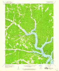
1959 Map of Gravois Mills
USGS Topo · Published 1960About this map
Gravois Mills sits at the northern reach of the Gravois Arm of Lake of the Ozarks in this late 1950s survey. The landscape is a complex network of branching coves and timbered ridges, where the rising waters of the reservoir met the older industrial and agricultural footprints of Morgan County. Evidence of mid-century recreation and local industry appears throughout the hills, from the Drive-in Theater and Fish Hatchery near the main settlement to more remote sites like Jacobs Cave and Natural Bridge.
Find a feature on this map
41 named features on this map. Tap any name to fly to it.
Don’t see what you’re looking for? This feature index may not catch every label — zoom into the map to look around manually.
Map Details
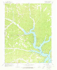
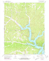
Editions of this 1959 Gravois Mills Map
3 editions found
Other maps of this area

1888 · Versailles
USGS Topo · 1:125,000

1893 · Versailles
USGS Topo · 1:125,000

1904 · Eldon
USGS Topo · 1:62,500

1904 · Gravois Mills
USGS Topo · 1:62,500

1932 · Versailles No 4
USGS Topo · 1:48,000

1934 · Purvis
USGS Topo · 1:24,000

1934 · Irontown Ferry
USGS Topo · 1:24,000

1934 · Lake Ozark
USGS Topo · 1:24,000

1935 · Gravois Mills
USGS Topo · 1:24,000

1935 · Proctor Creek
USGS Topo · 1:24,000